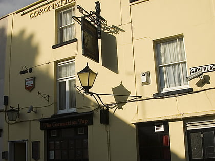
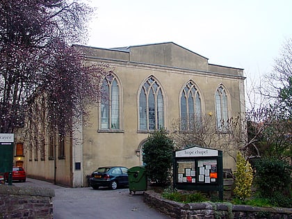
The Clifton Club, Bristol
Map
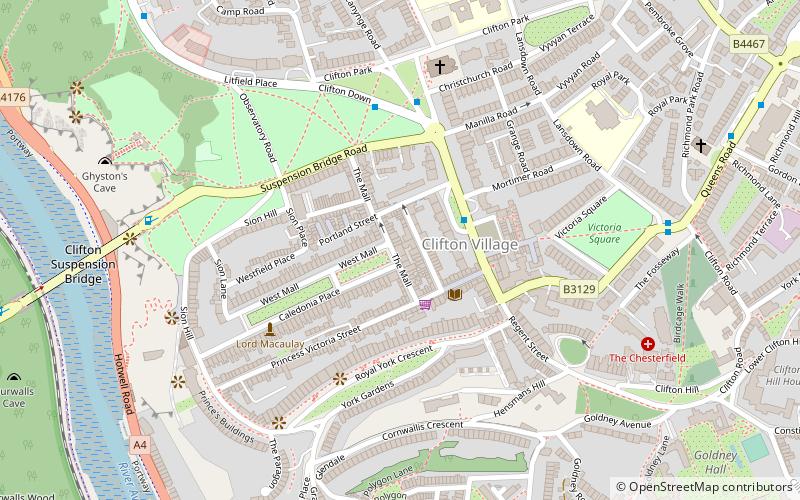
Map

Facts and practical information
The Clifton Club is a traditional private members club in Bristol, England, founded in 1818 as a meeting place for the gentlemen of the prosperous port of Bristol. ()
Coordinates: 51°27'19"N, 2°37'15"W
Day trips
The Clifton Club – popular in the area (distance from the attraction)
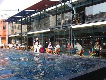
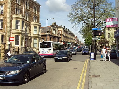
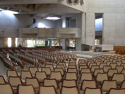
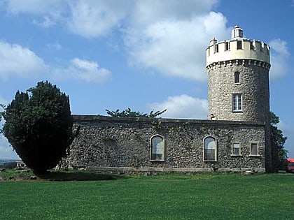
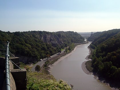
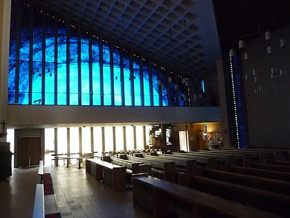
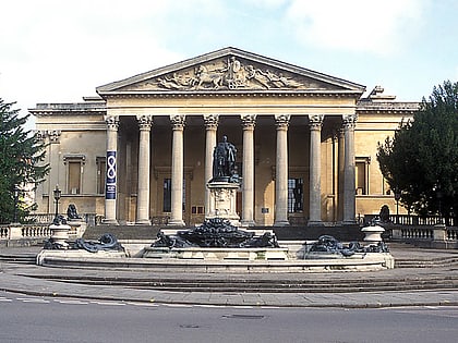
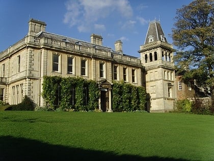
Nearby attractions include: Lido, Whiteladies Road, Clifton Suspension Bridge, Clifton Cathedral.
Frequently Asked Questions (FAQ)
Which popular attractions are close to The Clifton Club?
Nearby attractions include Royal York Crescent, Bristol (3 min walk), Caledonia Place, Bristol (3 min walk), Christ Church Clifton, Bristol (5 min walk), Cornwallis Crescent, Bristol (7 min walk).
How to get to The Clifton Club by public transport?
The nearest stations to The Clifton Club:
Bus
Ferry
Train
Bus
- Clifton Village • Lines: 8, 9 (2 min walk)
- Christ Church • Lines: 8, 9 (4 min walk)
Ferry
- Pumphouse • Lines: Hotwells-Centre (14 min walk)
- Mardyke • Lines: Hotwells-Centre (14 min walk)
Train
- Butterfly Junction (16 min walk)
- Clifton Down (20 min walk)

