Duke's Pass, Loch Lomond and The Trossachs National Park
Map

Map

Facts and practical information
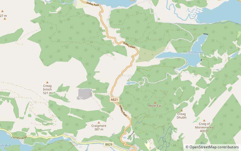
Duke's Pass or Dukes Pass is a pass on the A821 road between Aberfoyle and Brig o' Turk in the glen of the Trossachs in the Scottish Highlands. It climbs to a height of 240 metres above sea level. ()
Coordinates: 56°12'10"N, 4°23'25"W
Address
Loch Lomond and The Trossachs National Park
ContactAdd
Social media
Add
Day trips
Duke's Pass – popular in the area (distance from the attraction)
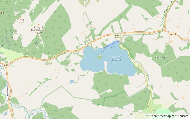
Nearby attractions include: Inchmahome Priory, Ben A'an, Ben Ledi, Talla Castle.


