Spike Island, Bristol
Map
Gallery

Facts and practical information
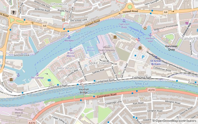
Spike Island is an inner city and harbour area of the English port city of Bristol, adjoining the city centre. It comprises the strip of land between the Floating Harbour to the north and the tidal New Cut of the River Avon to the south, from the dock entrance to the west to Bathurst Basin in the east. The island forms part of Cabot ward. The area between the Docks and New cut to the east of Bathurst Basin is in the neighbourhoods of Redcliffe and St Philip's Marsh. ()
Coordinates: 51°26'52"N, 2°36'38"W
Address
CabotBristol
ContactAdd
Social media
Add
Day trips
Spike Island – popular in the area (distance from the attraction)
Nearby attractions include: SS Great Britain, Cabot Tower, We the Curious, Hydraulic engine house.
Frequently Asked Questions (FAQ)
Which popular attractions are close to Spike Island?
Nearby attractions include SS Great Britain, Bristol (4 min walk), Matthew Ship, Bristol (4 min walk), Bristol Marina, Bristol (5 min walk), Jacobs Wells Baths, Bristol (7 min walk).
How to get to Spike Island by public transport?
The nearest stations to Spike Island:
Bus
Ferry
Train
Bus
- SS Great Britain • Lines: m2 (3 min walk)
- Wapping Wharf • Lines: m2 (13 min walk)
Ferry
- Bristol Marina • Lines: Hotwells-Centre (3 min walk)
- Mardyke • Lines: Hotwells-Centre (4 min walk)
Train
- SS Great Britain (6 min walk)
- Butterfly Junction (11 min walk)


