Moel Eilio, Snowdonia National Park

Gallery (2)
Map
Map
Gallery
Facts and practical information
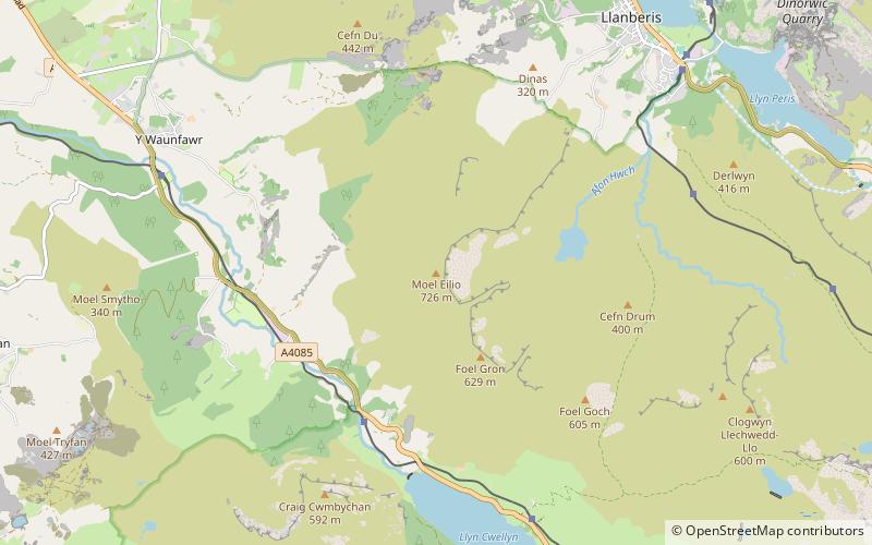
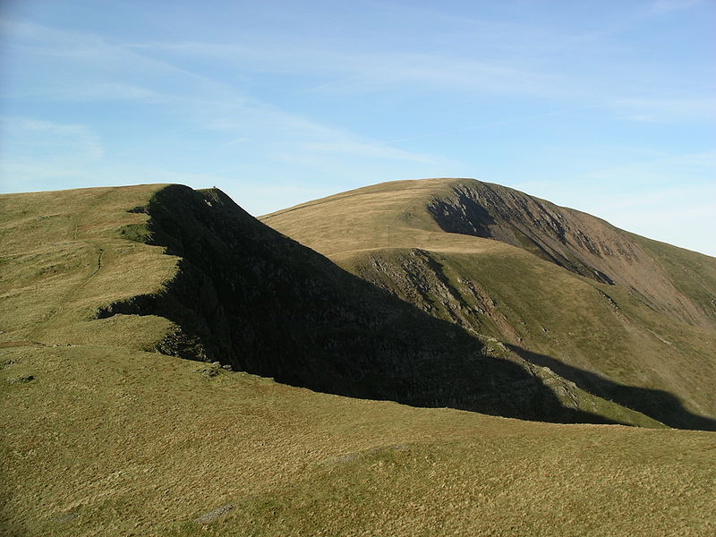
Moel Eilio is a mountain in Snowdonia, North Wales, that is situated approximately 3 miles north-west of Snowdon itself. It has two subsidiary tops, Foel Gron and Foel Goch. The average annual temperature of the mountain is around 6 degrees Celsius. During the winter season, some significant accumulations of snowfall is known to take place on Moel Eilio, due to its relatively flat, grassy slopes. ()
Elevation: 2382 ftProminence: 850 ftCoordinates: 53°5'50"N, 4°9'30"W
Address
Snowdonia National Park
ContactAdd
Social media
Add
Getting there by public transportation
Public transportation stops near this location
- Train
 Train
Train
- Calculate routePlas-y-nant 28 min walk
Day trips


Frequently Asked Questions (FAQ)
How to get to Moel Eilio by public transport?
The nearest stations to Moel Eilio:
Train
Train
- Plas-y-nant (28 min walk)