Garnedd Ugain, Snowdonia National Park
Map
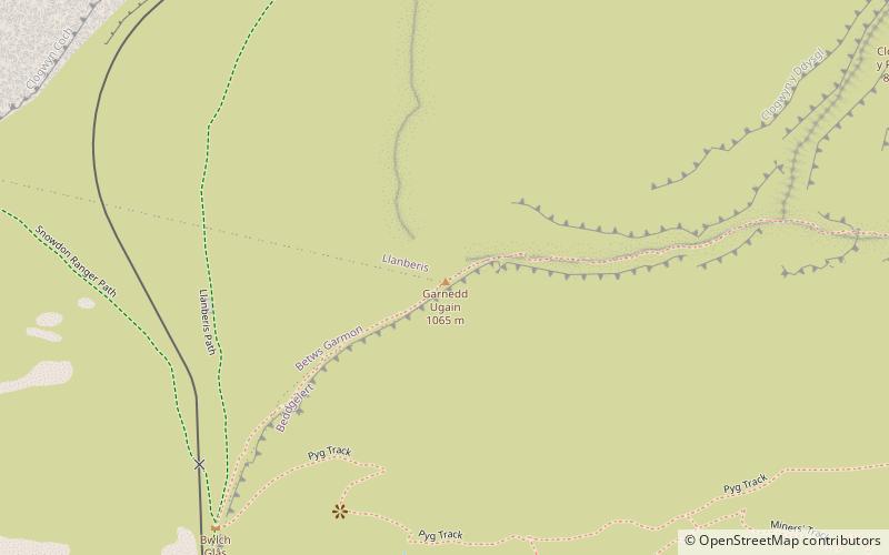
Map

Facts and practical information
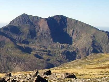
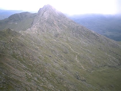
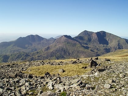
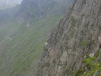
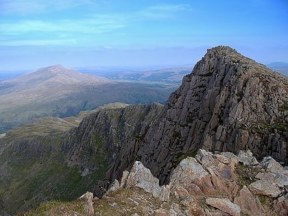
Garnedd Ugain, often referred to as "Crib-y-Ddysgl", is a pyramidal mountain in Wales that forms part of the Snowdon Massif. It is the second-highest peak in Wales, and lies just under one kilometre north of the summit of Snowdon itself. ()
Address
Snowdonia National Park
ContactAdd
Social media
Add
Day trips
Garnedd Ugain – popular in the area (distance from the attraction)
Nearby attractions include: Snowdon, Clogwyn Du'r Arddu, Glaslyn, Llyn Llydaw.
Frequently Asked Questions (FAQ)
Which popular attractions are close to Garnedd Ugain?
Nearby attractions include Llechog, Snowdonia National Park (2 min walk), Snowdon, Snowdonia National Park (13 min walk), Glaslyn, Snowdonia National Park (14 min walk), Snowdon Massif, Snowdonia National Park (21 min walk).
How to get to Garnedd Ugain by public transport?
The nearest stations to Garnedd Ugain:
Train
Train
- Summit (13 min walk)
- Clogwyn (16 min walk)
