Riverside, Newcastle upon Tyne
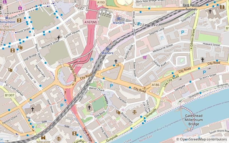
Map
Facts and practical information
Riverside was a music venue in Newcastle upon Tyne, England which operated from 1985 to 1999. It is the subject of a book, Riverside: Newcastle's Legendary Alternative Music Venue, by Hazel Plater and Carl Taylor, published by Tonto Books on 6 October 2011. ()
Opened: 1985 (41 years ago)Coordinates: 54°58'18"N, 1°36'18"W
Address
OuseburnNewcastle upon Tyne
ContactAdd
Social media
Add
Getting there by public transportation
Public transportation stops near this location
- Bus
- Light rail
- Train
 Bus
Bus
- Calculate routeManors 2 min walk
- Calculate routeNewcastle 14 min walk
- Calculate routeManors 4 min walk
- Calculate routeMonument 10 min walk
- Calculate routeCentral Station 13 min walk
- Calculate routeHaymarket 15 min walk
- Calculate routeTyne Bridge North End 5 min walk
- Calculate routeNewcastle Manors 6 min walk
- Calculate routeMarket Street 6 min walk
Day trips
Riverside – popular in the area (distance from the attraction)
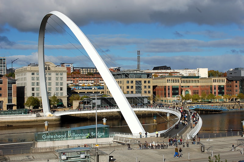
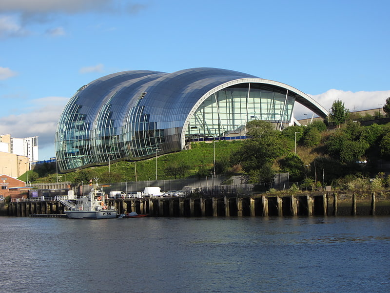
Nearby attractions include: Tup Tup Palace, Baltic Centre for Contemporary Art, Gateshead Millennium Bridge, Sage Gateshead.


Frequently Asked Questions (FAQ)
Which popular attractions are close to Riverside?
Nearby attractions include Holy Jesus Hospital, Newcastle upon Tyne (3 min walk), Trinity House, Newcastle upon Tyne (3 min walk), Live Theatre, Newcastle upon Tyne (4 min walk), All Saints' Church, Newcastle upon Tyne (4 min walk).
How to get to Riverside by public transport?
The nearest stations to Riverside:
Train
Light rail
Bus
Train
- Manors (2 min walk)
- Newcastle (14 min walk)
Light rail
- Manors • Lines: Yellow (4 min walk)
- Monument • Lines: Green, Yellow (10 min walk)
Bus
- Tyne Bridge North End • Lines: 97 (5 min walk)
- Newcastle Manors • Lines: 62, 63 (6 min walk)