Cole Mere

Map
Facts and practical information
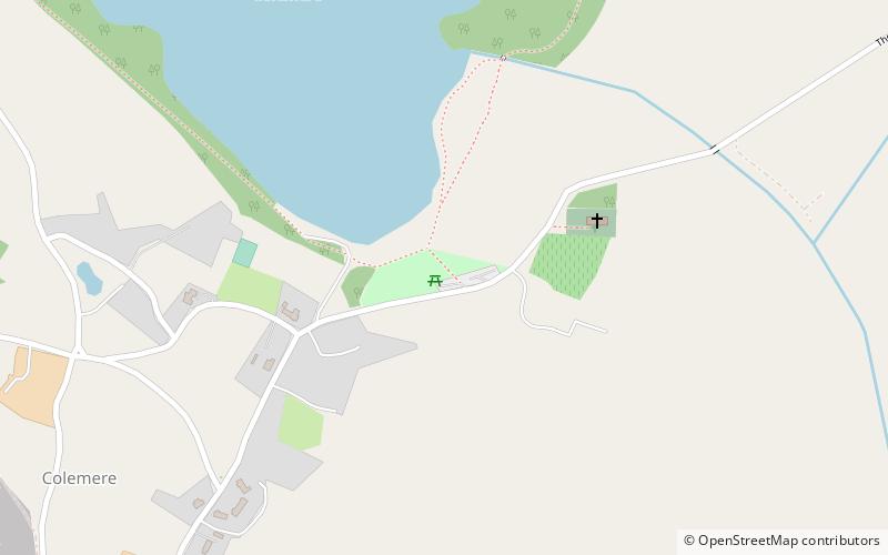
Colemere Countryside Site is a countryside heritage site. Due to its important conservation status it has two key designations being a Site of Special Scientific Interest and an internationally important Ramsar wetland site. 3 miles south-east of Ellesmere, Shropshire. ()
Elevation: 285 ft a.s.l.Coordinates: 52°53'24"N, 2°50'24"W
Location
England
ContactAdd
Social media
Add
Day trips
Cole Mere – popular in the area (distance from the attraction)
Nearby attractions include: Wem Town Hall, St Mary's Church, St Mary's Church, Ellesmere Castle.


