Frankton Junction
#4131 among destinations in the United Kingdom


Facts and practical information
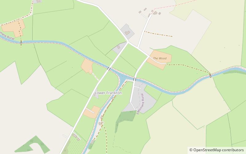
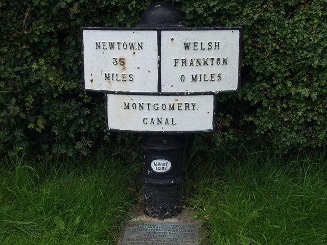
Frankton Junction is the name of the canal junction where the Montgomery Canal terminates and meets the Llangollen Canal at Lower Frankton, Shropshire, England. ()
EnglandUnited Kingdom
Frankton Junction – popular in the area (distance from the attraction)
Nearby attractions include: Chirk Aqueduct, Whittington Castle, Oswestry Guildhall, St Mary's Church.
 Bridge
Chirk Aqueduct, Chirk
158 min walk • Chirk Aqueduct is a 70-foot high and 710-foot long navigable aqueduct that carries what is now the Llangollen Canal across the Ceiriog Valley near Chirk, on the England-Wales border, spanning the two countries.
 Forts and castles
Whittington Castle, Oswestry
71 min walk • Whittington Castle is a castle in northern Shropshire, England, owned and managed by the Whittington Castle Preservation Fund. The castle was originally a motte-and-bailey castle, but this was replaced in the 13th century by one with buildings around a courtyard whose exterior wall was the curtain wall of the inner bailey.
 City hall
Oswestry Guildhall, Oswestry
130 min walk • Oswestry Guildhall is a municipal building in Bailey Head in Oswestry, Shropshire, England. The structure, which was the meeting place of Oswestry Municipal Borough Council, is a Grade II listed building.
 Church, Gothic Revival architecture, Gothic architecture
St Mary's Church, Ellesmere
70 min walk • St Mary's Church stands on a hill in the town of Ellesmere, Shropshire, England. It is an active Anglican parish church in the deanery of Ellesmere, the archdeaconry of Salop, and the diocese of Lichfield. The church is recorded in the National Heritage List for England as a designated Grade I listed building.
 Forts and castles
Old Oswestry
119 min walk • Old Oswestry is a large early Iron Age hill fort in the Welsh Marches near Oswestry in north west Shropshire, England. The earthworks, which remain one of the best preserved hill forts in the UK, have been described as "The Stonehenge of the Iron Age Period".
 Park
ParkCole Mere
105 min walk • Colemere Countryside Site is a countryside heritage site. Due to its important conservation status it has two key designations being a Site of Special Scientific Interest and an internationally important Ramsar wetland site. 3 miles south-east of Ellesmere, Shropshire.
 Canal
CanalMontgomery Canal
125 min walk • The Montgomery Canal, known colloquially as "The Monty", is a partially restored canal in eastern Powys and northwest Shropshire.
 Historic walking areas, Historical place, Forts and castles
Oswestry Castle, Oswestry
131 min walk • Oswestry Castle is a medieval castle in the town of Oswestry, Shropshire, England. The castle has also been known as, or recorded in historical documents as: Album Monasterium; Blancminster; Blankmouster; Blancmustier; Croes Oswald; L'Oeuvre; L'uvre; Castle Loure; Luure; Luvre; Lvvre: Castle Philip; Oswaldestre; Meresberie.
 Forts and castles
Ellesmere Castle, Ellesmere
69 min walk • Ellesmere Castle was in the town of Ellesmere, Shropshire. This was a motte and bailey castle which was probably founded by Roger de Montgomerie, 1st Earl of Shrewsbury on a prominent hill to the east of the town, overlooking the Mere, soon after the Norman conquest.
 Church
St Michael and All Angels' Church
114 min walk • The Church of St Michael and All Angels is a Grade II listed Anglican church in the village of Welshampton in Shropshire. It was built in the 1860s for Frances Mainwaring and Salusbury Kynaston Mainwaring, in memory of Charles Kynaston Mainwaring of Oteley.

