Stockingfield Junction, Glasgow
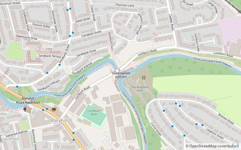
Map
Gallery
Facts and practical information
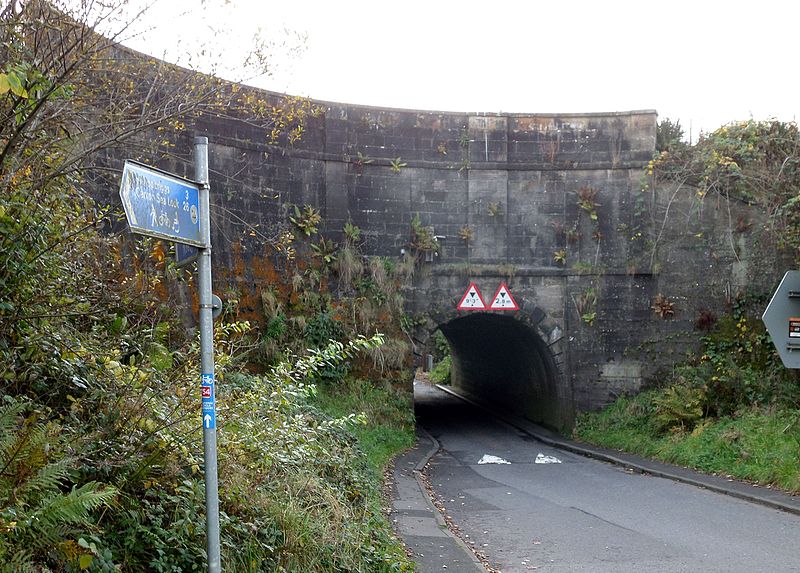
Stockingfield Junction is a canal junction which lies in Lambhill, in Glasgow, Scotland. It opened in 1777, and closed in 1963, followed by restoration and a re-opening in 2001-2002. At first a terminus it formed the junction for the Port Dundas branch off the Forth and Clyde Canal main line from 1777. ()
Coordinates: 55°53'33"N, 4°17'10"W
Address
North KelvinGlasgow
ContactAdd
Social media
Add
Day trips
Stockingfield Junction – popular in the area (distance from the attraction)
Nearby attractions include: Queen's Cross Church, Glasgow Botanic Gardens, Ruchill Church Hall, Kelvinside Hillhead Parish Church.
Frequently Asked Questions (FAQ)
Which popular attractions are close to Stockingfield Junction?
Nearby attractions include Maryhill Burgh Halls, Glasgow (6 min walk), Wyndford, Glasgow (11 min walk), Ruchill Parish Church, Glasgow (11 min walk), Ruchill Church Hall, Glasgow (11 min walk).
How to get to Stockingfield Junction by public transport?
The nearest stations to Stockingfield Junction:
Bus
Train
Bus
- Ruchill, Curzon Street/ No 178 • Lines: 90 (4 min walk)
- Maryhill, Sandbank Street/ Sandbank Drive • Lines: 8 (5 min walk)
Train
- Gilshochill (9 min walk)
- Summerston (13 min walk)


