Ruchill Park, Glasgow
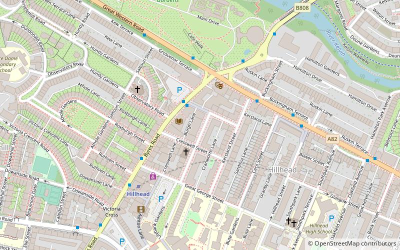
Map
Gallery
Facts and practical information
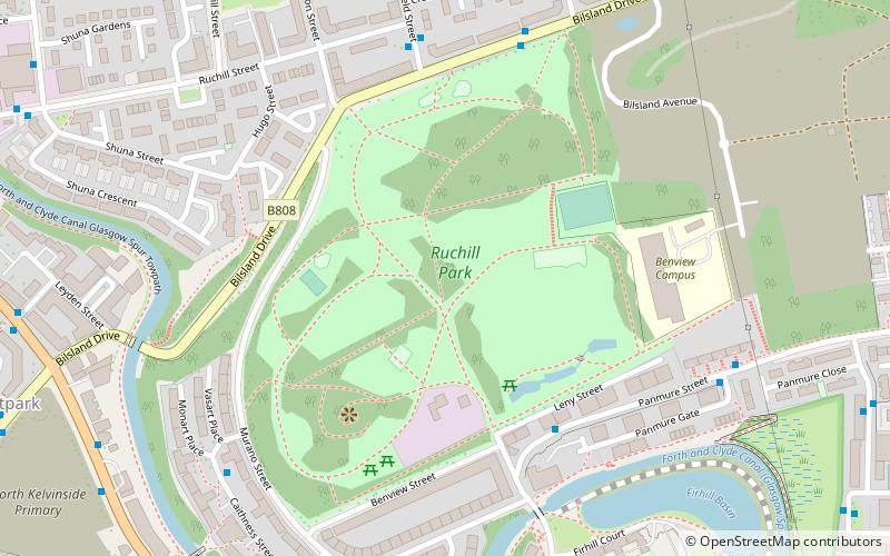
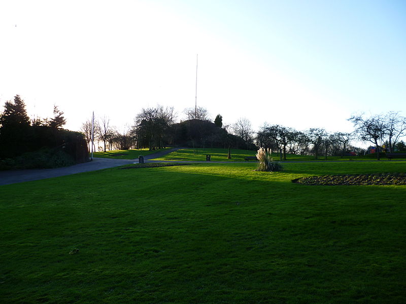
Ruchill Park is a public park in Ruchill, Glasgow, Scotland, approximately 2 miles north-west of the city centre. It is adjacent to the former location of Ruchill Hospital on Bilsland Drive. ()
Created: 1892Elevation: 256 ft a.s.l.Coordinates: 55°53'7"N, 4°16'23"W
Day trips
Ruchill Park – popular in the area (distance from the attraction)
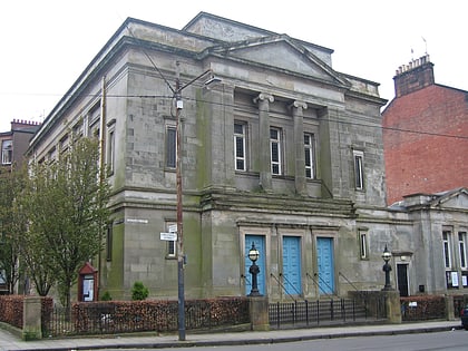
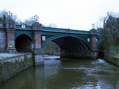
Nearby attractions include: Glasgow University Union, Queen's Cross Church, Glasgow Botanic Gardens, Websters Theatre.
Frequently Asked Questions (FAQ)
Which popular attractions are close to Ruchill Park?
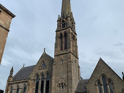
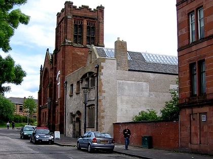
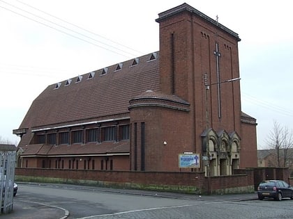
Nearby attractions include Ruchill, Glasgow (7 min walk), Queen's Cross Church, Glasgow (9 min walk), Ruchill Church Hall, Glasgow (11 min walk), Ruchill Parish Church, Glasgow (11 min walk).
How to get to Ruchill Park by public transport?
The nearest stations to Ruchill Park:
Bus
Train
Metro
Bus
- Mayfield Street / Ruchill Street • Lines: 90 (5 min walk)
- Maryhill Road / Bilsland Drive • Lines: 17, 60, 60A, 61, 8, C8 (8 min walk)
Train
- Possilpark and Parkhouse (17 min walk)
- Gilshochill (23 min walk)
Metro
- Kelvinbridge • Lines: Subway (21 min walk)
- St Georges Cross • Lines: Subway (26 min walk)


