Chertsey Lock, Chertsey
Map
Gallery
Facts and practical information
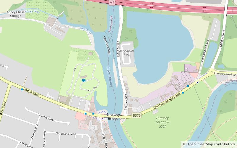
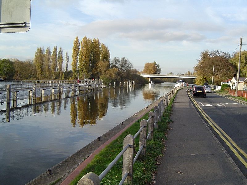
Chertsey Lock is a lock on the River Thames in England, against the left bank, an area of Green Belt including Laleham Park, the largest public park in Spelthorne. It faces the town of Chertsey and is the fifth-lowest of the forty-four locks along the non-tidal course of the river. Owing to a course alteration both banks at the site of the lock have been since medieval times in Surrey. Stone-built Chertsey Bridge built in 1785 is 210 m south of the lock. The lock was built by the City of London Corporation in 1813, lengthened in 1893 and again in 1913. ()
Coordinates: 51°23'27"N, 0°29'10"W
Address
Chertsey
ContactAdd
Social media
Add
Day trips
Chertsey Lock – popular in the area (distance from the attraction)
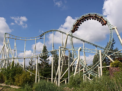
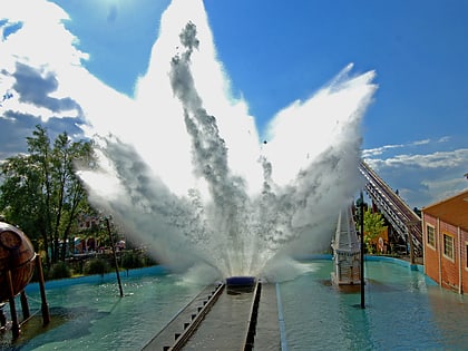
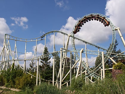
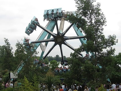
Nearby attractions include: Thorpe Park, Saw - The Ride, Tidal Wave, Colossus.
Frequently Asked Questions (FAQ)
Which popular attractions are close to Chertsey Lock?
Nearby attractions include Chertsey Bridge, Chertsey (4 min walk), Dumsey Meadow, Chertsey (6 min walk), Chertsey Meads, Chertsey (15 min walk), Chertsey Abbey, Chertsey (20 min walk).
How to get to Chertsey Lock by public transport?
The nearest stations to Chertsey Lock:
Bus
Train
Bus
- Chertsey Bridge • Lines: 557 (4 min walk)
- Old Littleton Lane • Lines: 557 (6 min walk)
Train
- Chertsey (27 min walk)

