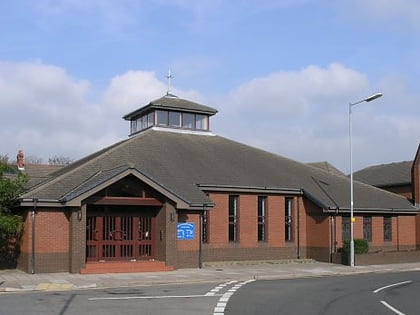
Church of All Saints, Llanelli
Map
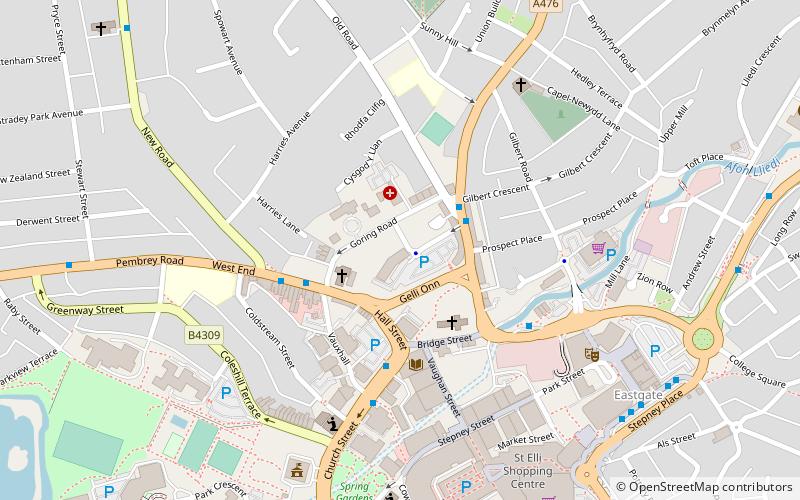
Map

Facts and practical information
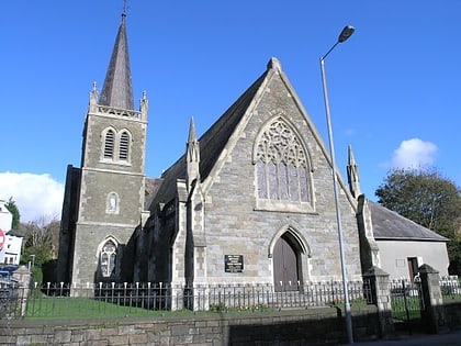
The Church of All Saints is a former Anglican parish church in the town of Llanelli, Carmarthenshire, Wales. It was built in 1872 and is located in Heol Goring. It was designated a Grade II-listed building on 3 December 1992, and was reported to be closed in March 2011 due to electrical defects. ()
Coordinates: 51°41'5"N, 4°9'44"W
Address
Llanelli
ContactAdd
Social media
Add
Day trips
Church of All Saints – popular in the area (distance from the attraction)
Nearby attractions include: Stradey Park Cricket Ground, Parc Trostre, Llanelli Town Hall, Parc Howard.
Frequently Asked Questions (FAQ)
Which popular attractions are close to Church of All Saints?
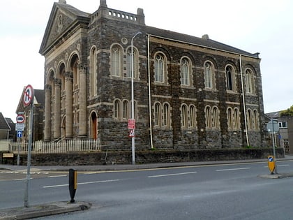
Nearby attractions include Hall Street Methodist Church, Llanelli (2 min walk), St Elli Church, Llanelli (3 min walk), Llanelly House, Llanelli (3 min walk), Tabernacle Chapel, Llanelli (5 min walk).
How to get to Church of All Saints by public transport?
The nearest stations to Church of All Saints:
Bus
Train
Bus
- Llanelli Bus Station (7 min walk)
Train
- Llanelli (20 min walk)

