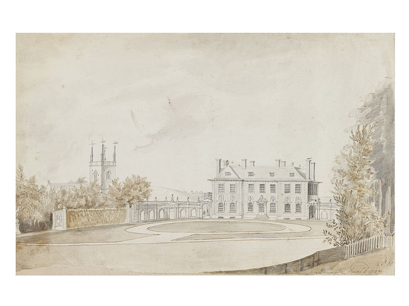
Honington Hall

Gallery (2)
Map
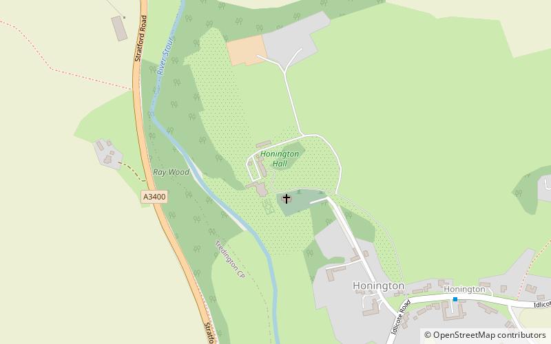
Map
Gallery
Facts and practical information
Honington Hall is a privately owned 17th century country house at Honington, near Stratford on Avon, Warwickshire. It has Grade I listed building status. ()
Elevation: 230 ft a.s.l.Coordinates: 52°4'56"N, 1°37'13"W
Location
England
ContactAdd
Social media
Add
Day trips


