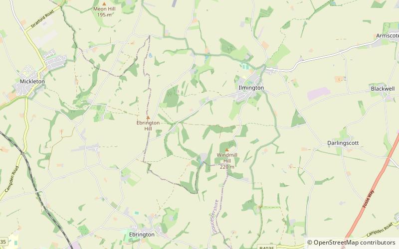
Ilmington Downs, Chipping Campden
Map

Map

Facts and practical information
The Ilmington Downs are a large open area situated in Warwickshire, just above the small village of Ilmington. It is the highest point in Warwickshire at 858 feet with good views of that part of the Cotswolds. ()
Elevation: 787 ft a.s.l.Coordinates: 52°4'52"N, 1°42'41"W
Address
Chipping Campden
ContactAdd
Social media
Add
Day trips
Ilmington Downs – popular in the area (distance from the attraction)
Nearby attractions include: Broadway Tower, Hidcote Manor Garden, Batsford Arboretum, Blockley Church.
Frequently Asked Questions (FAQ)
Which popular attractions are close to Ilmington Downs?
Nearby attractions include Ebrington Hill, Cotswold Water Park (20 min walk), Ilmington Village Hall, Cotswold Water Park (24 min walk).


