London Borough of Bexley, Dartford
Map
Facts and practical information
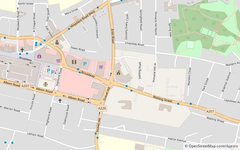
The London Borough of Bexley is a London borough in south-east London, forming part of Outer London. It has a population of 248,287. The main settlements are Sidcup, Erith, Bexleyheath, Crayford, Welling and Old Bexley. The London Borough of Bexley is within the Thames Gateway, an area designated as a national priority for urban regeneration. The local authority is Bexley London Borough Council. ()
Address
Bexley (Barnehurst)Dartford
ContactAdd
Social media
Add
Getting there by public transportation
Public transportation stops near this location
- Bus
- Train
 Bus
Bus
- Calculate routeCivic Centre / Council Offices 2 min walk
- Calculate routeBexleyheath / Highland Road 4 min walk
- Calculate routeHalcot Avenue 6 min walk
- Calculate routeTower Road 6 min walk
- Calculate routeBarnehurst 18 min walk
- Calculate routeBexleyheath 27 min walk
- Calculate routeBexley 28 min walk
- Calculate routeCrayford 31 min walk
Day trips


Frequently Asked Questions (FAQ)
Which popular attractions are close to London Borough of Bexley?
Nearby attractions include Bexley Civic Offices, Dartford (1 min walk), Bexleyheath, London (15 min walk), Hall Place and Gardens, London (16 min walk), Black Prince, London (17 min walk).
How to get to London Borough of Bexley by public transport?
The nearest stations to London Borough of Bexley:
Bus
Train
Bus
- Civic Centre / Council Offices • Lines: 96 (2 min walk)
- Bexleyheath / Highland Road • Lines: 132, 229, 492, B12, N21 (4 min walk)
Train
- Barnehurst (18 min walk)
- Bexleyheath (27 min walk)