Church of the Ascension, Manchester
Map

Map

Facts and practical information
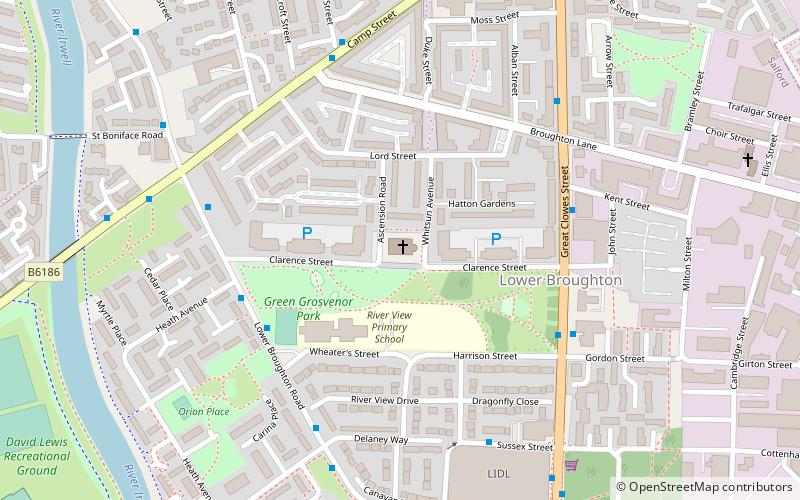
The Church of the Ascension is a Grade II listed Anglican church in Lower Broughton, Salford, England. In February 2017 a fire destroyed the roof and interior of the building. ()
Coordinates: 53°29'41"N, 2°15'46"W
Day trips
Church of the Ascension – popular in the area (distance from the attraction)
Nearby attractions include: Manchester Cathedral, Manchester Arena, People's History Museum, Salford Museum and Art Gallery.
Frequently Asked Questions (FAQ)
Which popular attractions are close to Church of the Ascension?
Nearby attractions include Victoria Theatre, Manchester (8 min walk), Peel Park, Manchester (16 min walk), Strangeways, Manchester (18 min walk), St Philip's Church, Manchester (19 min walk).
How to get to Church of the Ascension by public transport?
The nearest stations to Church of the Ascension:
Bus
Train
Tram
Bus
- Great Cheetham Street East • Lines: X43 (15 min walk)
- GREAT DUCIE Street/Strangeways • Lines: X43 (17 min walk)
Train
- Salford Crescent (21 min walk)
- Salford Central (23 min walk)
Tram
- Victoria • Lines: Airp, Altr, Bury, EDid, Picc, Roch, Shaw, Vict (26 min walk)
- Exchange Square • Lines: EDid, Roch, Shaw (28 min walk)

 Metrolink
 Metrolink / Rail


