Reading Built-up Area, Reading
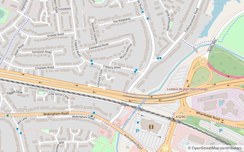
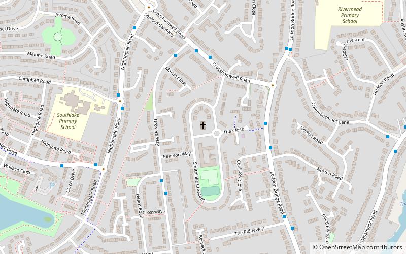
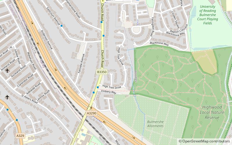
Map
Facts and practical information
The Reading Built-up Area or Reading/Wokingham Urban Area is a name given by the Office for National Statistics to a conurbation in Berkshire, England, with a population of 318,014. This was a significant decrease from the population according to the 2001 census of 369,804 due to Bracknell no longer being considered part of the built-up area, but forming part of the Greater London Urban Area instead. ()
Coordinates: 51°26'24"N, 0°54'0"W
Address
WoodleyReading
ContactAdd
Social media
Add
Getting there by public transportation
Public transportation stops near this location
- Bus
- Train
 Bus
Bus
- Calculate routeCoppice Road 2 min walk
- Calculate routerivermead 4 min walk
- Calculate routeWinnersh Triangle 11 min walk
- Calculate routeEarley 20 min walk
- Calculate routeWinnersh 30 min walk
Day trips


Frequently Asked Questions (FAQ)
How to get to Reading Built-up Area by public transport?
The nearest stations to Reading Built-up Area:
Bus
Train
Bus
- Coppice Road • Lines: 19a, 19c (2 min walk)
- rivermead • Lines: 13 (4 min walk)
Train
- Winnersh Triangle (11 min walk)
- Earley (20 min walk)