Lambert's Castle Hill
Map

Map

Facts and practical information
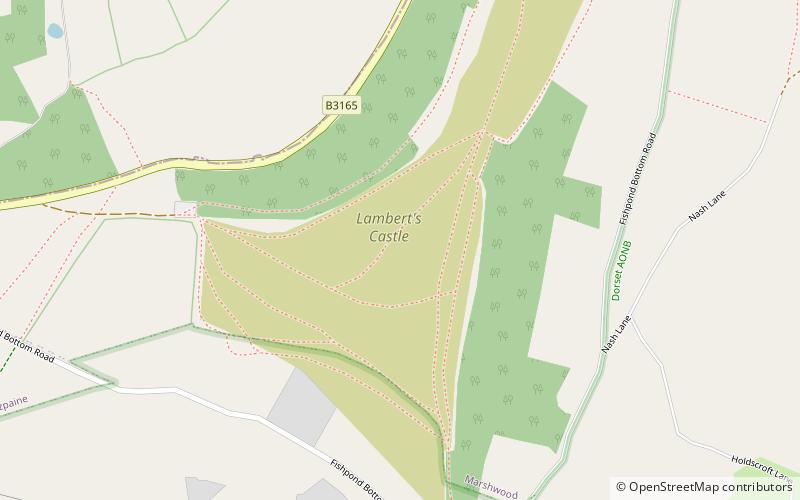
Lambert's Castle Hill rises between the villages of Marshwood and Fishpond Bottom in the county of Dorset, England. It is part of the South Dorset Downs and its prominence qualifies it as one of the so-called HuMPs. ()
Elevation: 846 ftProminence: 397 ftCoordinates: 50°47'5"N, 2°53'43"W
Location
England
ContactAdd
Social media
Add
Day trips
Lambert's Castle Hill – popular in the area (distance from the attraction)
Nearby attractions include: Lyme Regis Museum, Charmouth Heritage Coast Centre, Forde Abbey, Golden Cap.


