Pilsdon Pen
Map

Gallery

Facts and practical information
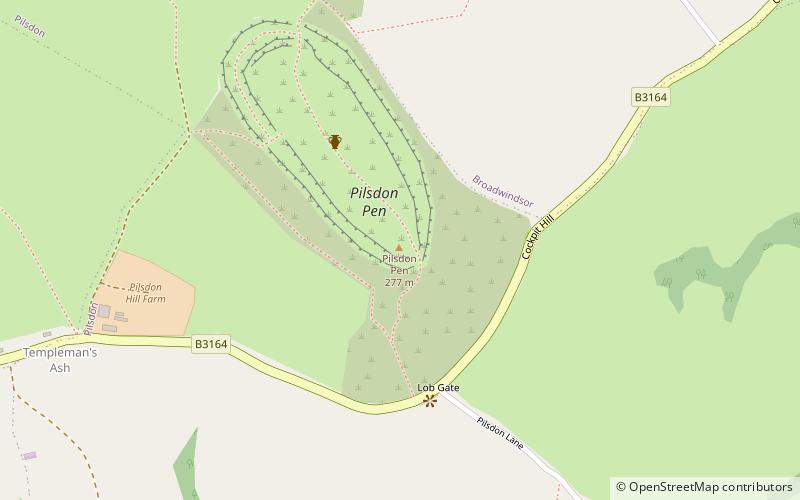
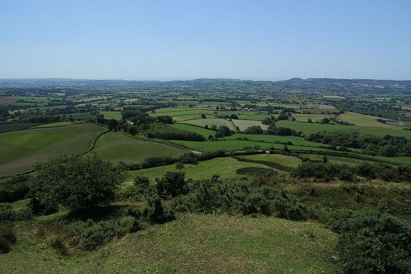
Pilsdon Pen is a 277-metre hill in Dorset in South West England, situated at the north end of the Marshwood Vale, approximately 4.5 miles west of Beaminster. It is Dorset's second highest point and has panoramic views extending for many miles. It was bequeathed to the National Trust by the Pinney family in 1982. For many years it was thought to be Dorset's highest hill, until modern survey revealed that nearby Lewesdon Hill was 2 metres higher. ()
Location
England
ContactAdd
Social media
Add
Day trips
Pilsdon Pen – popular in the area (distance from the attraction)
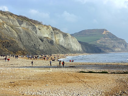
Nearby attractions include: Charmouth Heritage Coast Centre, Forde Abbey, Golden Cap, Bridport Museum.


