Ouseburn Viaduct, Newcastle upon Tyne

Map
Facts and practical information
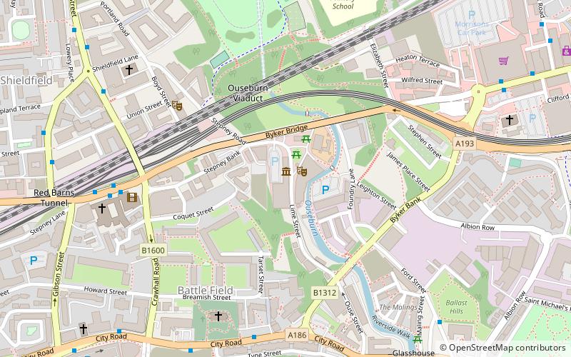
Ouseburn Viaduct carries the East Coast Main Line over the Ouseburn Valley through the East End of Newcastle-upon-Tyne. Designed by architects John and Benjamin Green, it was originally built in the late 1830s for the Newcastle and North Shields Railway. It is a Grade II* listed building. ()
Opened: 18 June 1839 (186 years ago)Coordinates: 54°58'29"N, 1°35'33"W
Day trips
Ouseburn Viaduct – popular in the area (distance from the attraction)
Nearby attractions include: Baltic Centre for Contemporary Art, Gateshead Millennium Bridge, Sage Gateshead, Live Theatre.
Frequently Asked Questions (FAQ)
When is Ouseburn Viaduct open?
Ouseburn Viaduct is open:
- Monday 9:30 am - 4:30 pm
- Tuesday 9:30 am - 4:30 pm
- Wednesday 9:30 am - 4:30 pm
- Thursday 9:30 am - 4:30 pm
- Friday 9:30 am - 4:30 pm
- Saturday 9:30 am - 4:30 pm
- Sunday 9:30 am - 4:30 pm
Which popular attractions are close to Ouseburn Viaduct?
Nearby attractions include Seven Stories, Newcastle upon Tyne (1 min walk), Byker Bridge, Newcastle upon Tyne (2 min walk), Byker Viaduct, Newcastle upon Tyne (3 min walk), Ouseburn Valley, Newcastle upon Tyne (3 min walk).
How to get to Ouseburn Viaduct by public transport?
The nearest stations to Ouseburn Viaduct:
Bus
Light rail
Train
Bus
- New Bridge Street-St Dominics-W/B • Lines: 62, 63 (6 min walk)
- Shields Road • Lines: 18, 62, 63 (9 min walk)
Light rail
- Manors • Lines: Yellow (13 min walk)
- Byker • Lines: Yellow (13 min walk)
Train
- Manors (14 min walk)
- Newcastle (28 min walk)


