Terrel's Heath, Grays
Map

Map

Facts and practical information
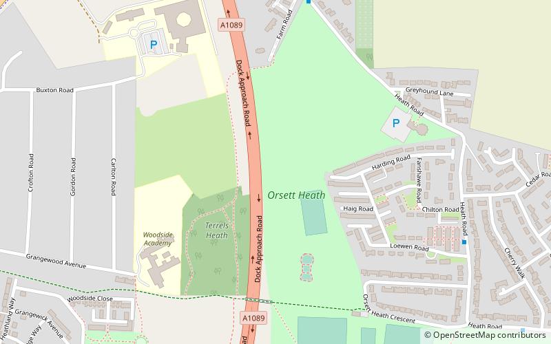
Terrel's Heath is, in spite of its name, an area of woodland in Chadwell St Mary named on the 1938 six-inch Ordnance Survey map. ()
Coordinates: 51°29'24"N, 0°21'36"E
Address
Grays
ContactAdd
Social media
Add
Day trips
Terrel's Heath – popular in the area (distance from the attraction)
Nearby attractions include: St Mary's Church, Baker Street Mill, Hangman's Wood, Palmer's College.
Frequently Asked Questions (FAQ)
Which popular attractions are close to Terrel's Heath?
Nearby attractions include Hangman's Wood, Grays (14 min walk), Palmer's College, Grays (15 min walk), St Mary's Church, Grays (19 min walk).
How to get to Terrel's Heath by public transport?
The nearest stations to Terrel's Heath:
Bus
Bus
- Loewen Road • Lines: 73A, 77A, 83 (7 min walk)
- Cherry Walk • Lines: 73A, 77A, 83 (11 min walk)


