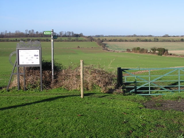
Miner's Way Trail
Gallery (1)
Map
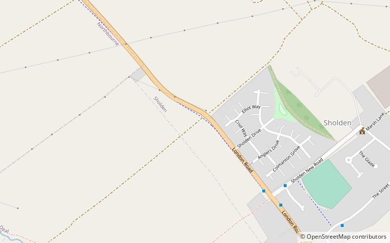
Map
Facts and practical information
The Miner's Way Trail is a long-distance circular footpath in England, starting at Sholden, Kent. Linking up the coalfield parishes of East Kent. Including; the parishes of Deal, Ash, Aylesham, Chillenden, Eastry, Eythorne, Elvington, Goodnestone, Nonington, Northbourne, Coldred, Staple, Tilmanstone and Wingham. ()
Length: 27 miSeason: All yearCoordinates: 51°13'30"N, 1°22'8"E
Location
England
ContactAdd
Social media
Add
Day trips