St Catharine's Church, Wigan
Map

Map

Facts and practical information
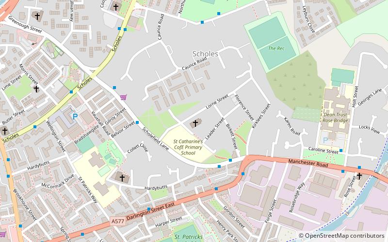
St Catharine's Church is in Lorne Street, Scholes, Wigan, Greater Manchester, England. It is an active Anglican parish church in the deanery of Wigan, the archdeaconry of Warrington and the diocese of Liverpool. Its benefice is united with that of Christ Church, Ince-in-Makerfield. The church is recorded in the National Heritage List for England as a designated Grade II listed building. It was a Commissioners' church, having received a grant towards its construction from the Church Building Commission. ()
Completed: 1841 (185 years ago)Architectural style: Gothic revivalSpire height: 190 ftCoordinates: 53°32'47"N, 2°37'1"W
Day trips
St Catharine's Church – popular in the area (distance from the attraction)
Nearby attractions include: Museum of Wigan Life, Grand Arcade, The Galleries, Trencherfield Mill.
Frequently Asked Questions (FAQ)
Which popular attractions are close to St Catharine's Church?
Nearby attractions include Whelley, Wigan (13 min walk), St John's Church, Wigan (13 min walk), St Mary's Church, Wigan (14 min walk), Wigan Town Hall, Wigan (14 min walk).
How to get to St Catharine's Church by public transport?
The nearest stations to St Catharine's Church:
Bus
Train
Bus
- Scholes/Longshoot • Lines: 575 (6 min walk)
- Whelley/Ellis Street • Lines: 575 (9 min walk)
Train
- Ince (14 min walk)
- Wigan North Western (18 min walk)


