Forest of Birse
Map

Gallery

Facts and practical information
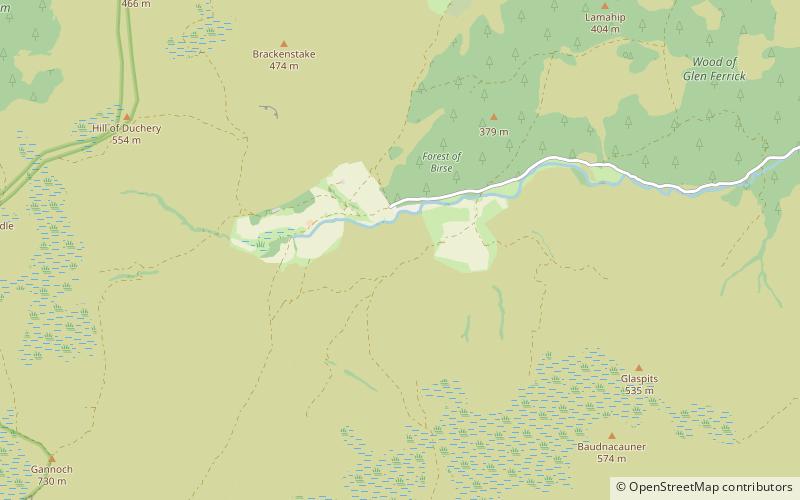
The Forest of Birse is a remote upland area in the upper catchment of the Water of Feugh, which forms the south-western portion of the Parish of Birse, Aberdeenshire, Scotland. It also forms the western part of the community of Finzean, but has a separate, complex history of landownership relating to its status as a commonty, which has involved a large number of disputes since the 16th century. In more recent decades, the forest has been a popular destination for people from Aberdeen taking picnics, as it is the closest area of Highland scenery to the city. ()
Coordinates: 57°0'0"N, 2°46'12"W
Location
Scotland
ContactAdd
Social media
Add
Day trips
Forest of Birse – popular in the area (distance from the attraction)
Nearby attractions include: Clachnaben, Glen Tanar, Birse Castle.


