Drumcoltran Tower
#2286 among destinations in the United Kingdom


Facts and practical information
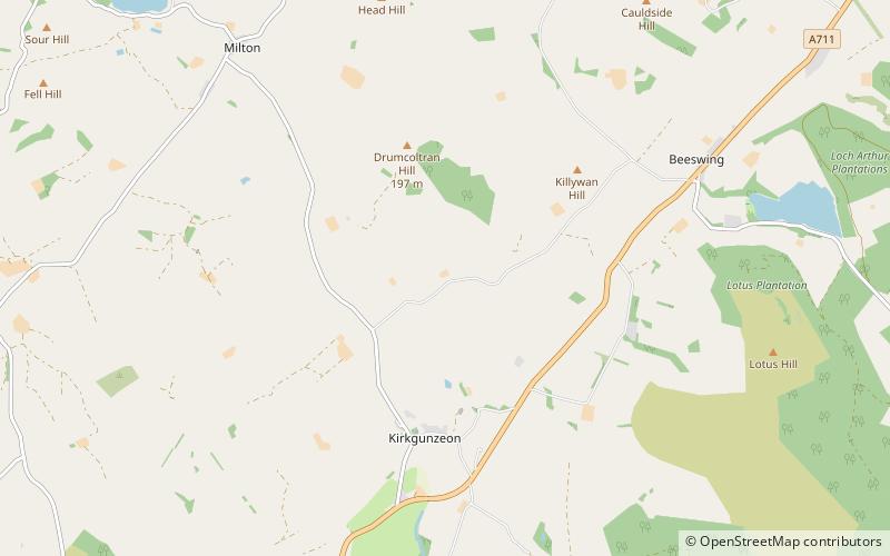
Drumcoltran Tower is a late-16th-century tower house situated in the historical county of Kirkcudbrightshire near Kirkgunzeon, Dumfries and Galloway. ()
ScotlandUnited Kingdom
Drumcoltran Tower – popular in the area (distance from the attraction)
Nearby attractions include: Motte of Urr, Buittle Bridge, Buittle Castle, Curriestanes cursus.
 Forts and castles
Motte of Urr, Dalbeattie
104 min walk • The Motte of Urr is the remains of a 12th-century motte-and-bailey castle located near the Haugh of Urr in Dumfries and Galloway, Scotland.
 Bridge
Buittle Bridge, Dalbeattie
142 min walk • Buittle Bridge, also known as Craignair Bridge is a bridge over the Urr Water just outside Dalbeattie in Dumfries and Galloway, Scotland.
 Forts and castles
Buittle Castle
136 min walk • Buittle Castle, also known historically as Botle or Botel Castle, is a Motte and Bailey site in Galloway, south-west Scotland with significant early and medieval history comprising a significant ruined Norman style Motte, and several extant buildings and gardens, including the...
 Archaeological site
Curriestanes cursus, Dumfries
180 min walk • Curriestanes cursus is a large neolithic ditched enclosure on the outskirts of Dumfries, in the parish of Troqueer, Dumfries and Galloway. It is visible only from aerial photography. It is, along with Pict's Knowe, one of two scheduled monuments in Troqueer parish.
 Nature, Natural attraction, Mountain
Criffel
172 min walk • Criffel is a hill in the historical county of Kirkcudbrightshire, Dumfries and Galloway, south-west Scotland. It is 570 m high but appears higher because of its great isolation and high prominence.
 Nature, Natural attraction, Lake
Lochrutton Loch
87 min walk • Lochrutton Loch is a large, lowland freshwater loch that lies to the west of Dumfries, Scotland. The loch trends from north to south and is 0.75 mi long and 0.5 mi at its widest point. It has an average depth of 13 ft and is 58 ft at its deepest. The loch was surveyed on 1 May 1905 by James Murray and L. W.
 Nature, Natural attraction, Lake
Lochaber Loch
88 min walk • Lochaber Loch is a small, lowland freshwater loch that lies among steep-sided hills, approximately 4.5 mi to the west of Dumfries, Scotland. The loch is somewhat triangular in shape and is 0.5 mi long and 0.25 mi at its widest point. It has an average depth of 20.5 ft and is 55 ft at its deepest.

 Forts and castles
Barclosh Castle
94 min walk • Barclosh Castle is a ruined 16th-century tower house situated near Dalbeattie, Dumfries and Galloway. There remains a section of wall 4 feet thick and 27 feet high.
 Forts and castles
Edingham Castle
98 min walk • Edingham Castle is a late 16th-century tower house situated near Dalbeattie, Dumfries and Galloway. It is the remains of an early tower house built for the Livingstones of Little Airds.
 Arenas and stadiums, Sport venue, Sport
Islecroft Stadium, Dalbeattie
121 min walk • Dalbeattie Star Football Club is a Scottish association football club based in Dalbeattie, Dumfries and Galloway that currently competes in the Lowland League. The club had previously played in the South of Scotland Football League.
