Buittle Bridge, Dalbeattie

Gallery (1)
Map
Map
Facts and practical information
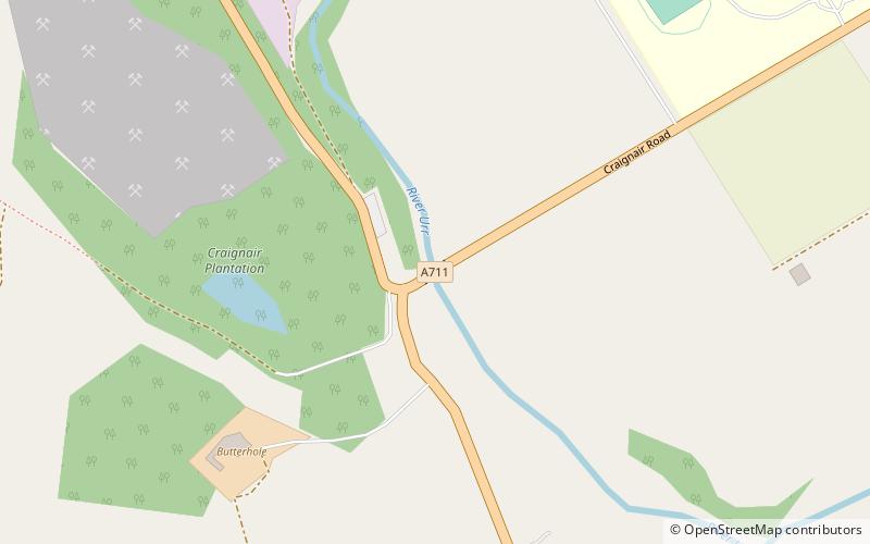
Buittle Bridge, also known as Craignair Bridge is a bridge over the Urr Water just outside Dalbeattie in Dumfries and Galloway, Scotland. Completed in 1797, it replaced and earlier two-span bridge of the same name which was destroyed in a flood a short time after its completion; the remains of this older bridge, comprising the base of its pier and some remnants of its south-west abutment, survive a short distance upstream. ()
Coordinates: 54°55'36"N, 3°50'20"W
Address
Dalbeattie
ContactAdd
Social media
Add
Day trips