Ball Haye Green, Leek
Map

Map

Facts and practical information
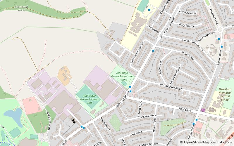
Ball Haye Green is an area of Leek in Staffordshire, England. The area was historically an estate in the township of Tittesworth. It was developed as a suburb of Leek from the 1820s, when the Leek Building Society erected 42 houses between 1824 and 1829. The suburb was extended in the 20th century by the building of housing estates. ()
Coordinates: 53°6'48"N, 2°0'56"W
Address
Leek
ContactAdd
Social media
Add
Day trips
Ball Haye Green – popular in the area (distance from the attraction)
Nearby attractions include: St Edward the Confessor's Church, All Saints' Church, Nicholson War Memorial, Brindley Mill.
Frequently Asked Questions (FAQ)
Which popular attractions are close to Ball Haye Green?
Nearby attractions include Buxton & Leek College, Leek (14 min walk), Nicholson War Memorial, Leek (15 min walk), St Edward the Confessor's Church, Leek (17 min walk), All Saints' Church, Leek (22 min walk).


