M8 Bridge to Nowhere, Glasgow
Map

Gallery
Facts and practical information
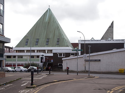
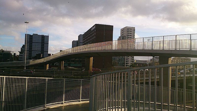
Bridge to Nowhere is a nickname used to refer to various unfinished structures around the M8 motorway in the centre of Glasgow, Scotland. They were built in the 1960s as part of the Glasgow Inner Ring Road project but left incomplete for several years. One "bridge", at Charing Cross, was completed in the 1990s as an office block. The Anderston Footbridge, a pedestrian bridge south of St Patrick's church, was finally completed in 2013 as part of a walking and cycling route. ()
Coordinates: 55°51'58"N, 4°16'17"W
Address
City Centre (Blythswood Hill)Glasgow
ContactAdd
Social media
Add
Day trips
M8 Bridge to Nowhere – popular in the area (distance from the attraction)
Nearby attractions include: Sauchiehall Street, O2 ABC Glasgow, Glasgow School of Art, Tenement House.
Frequently Asked Questions (FAQ)
Which popular attractions are close to M8 Bridge to Nowhere?
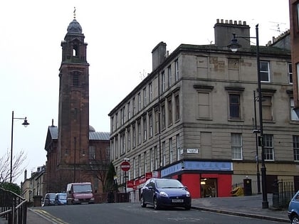
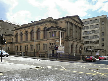
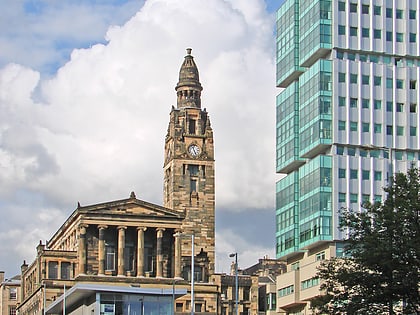
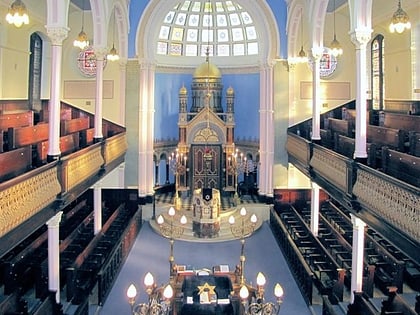
Nearby attractions include The Royal Highland Fusiliers Museum, Glasgow (2 min walk), Mitchell Library, Glasgow (3 min walk), King's Theatre, Glasgow (4 min walk), Garnethill Synagogue, Glasgow (4 min walk).
How to get to M8 Bridge to Nowhere by public transport?
The nearest stations to M8 Bridge to Nowhere:
Bus
Train
Metro
Bus
- Newton Place / Charing Cross • Lines: 3 (2 min walk)
- Sauchiehall Street/ St. George's Road • Lines: 3, c1 (3 min walk)
Train
- Charing Cross (4 min walk)
- Anderston (12 min walk)
Metro
- St Georges Cross • Lines: Subway (10 min walk)
- Cowcaddens • Lines: Subway (13 min walk)

