Gordon Way

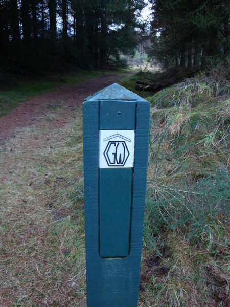
Gallery (2)
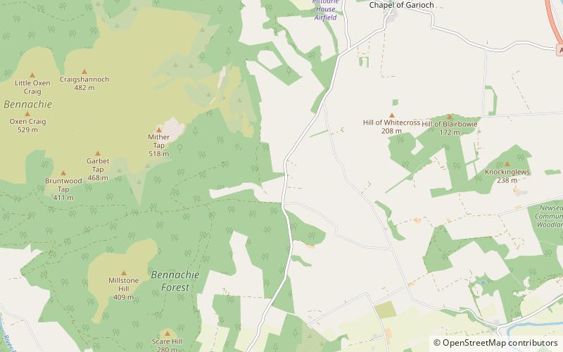
Map
Map
Gallery
Facts and practical information
The Gordon Way is a waymarked hiking trail in Aberdeenshire, Scotland. It runs for 11+1⁄2 miles through the Bennachie Forest. The route was one of a series maintained by the Forestry Commission and Aberdeenshire Council. In 2016, the council withdrew completely from its maintaining the route due to budgetary constraints. ()
Length: 11.5 miMaximum elevation: 1475 ftMinimal elevation: 450 ftCoordinates: 57°17'5"N, 2°29'56"W
Location
Scotland
ContactAdd
Social media
Add
Day trips


