Leeds Bridge, Leeds
Map
Gallery
Facts and practical information
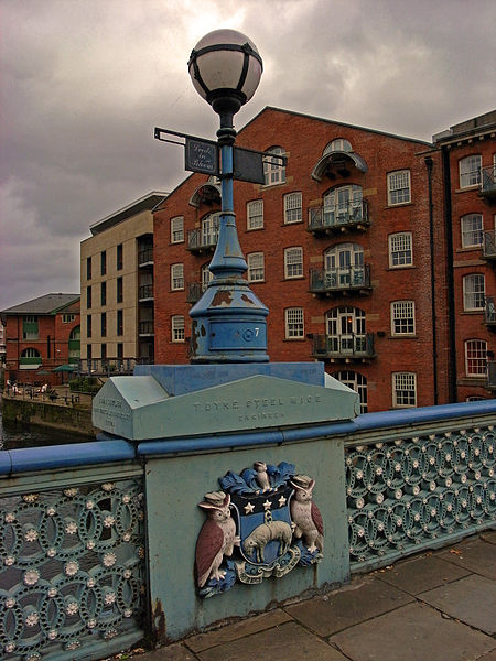
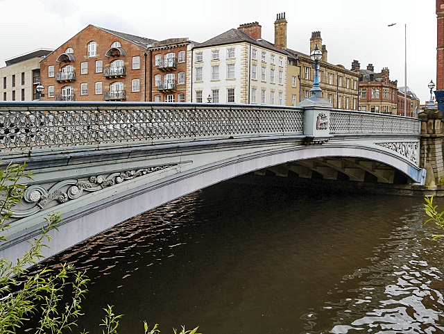
Leeds Bridge is a historic river crossing in Leeds, England. The present cast iron road bridge over the River Aire dates from 1870. It is Grade II listed. ()
Opened: 1870 (156 years ago)Coordinates: 53°47'38"N, 1°32'30"W
Day trips
Leeds Bridge – popular in the area (distance from the attraction)
Nearby attractions include: Briggate, Leeds Corn Exchange, Leeds Kirkgate Market, The Tetley.
Frequently Asked Questions (FAQ)
Which popular attractions are close to Leeds Bridge?
Nearby attractions include Leeds Freedom Bridge, Leeds (2 min walk), The Theatre, Leeds (3 min walk), Salem Chapel, Leeds (3 min walk), Time Ball Buildings, Leeds (3 min walk).
How to get to Leeds Bridge by public transport?
The nearest stations to Leeds Bridge:
Bus
Ferry
Train
Bus
- Southbank C • Lines: Pr1, Pr2, Pr3 (3 min walk)
- Trinity H • Lines: Pr2 (3 min walk)
Ferry
- Leeds Water Taxi Dock • Lines: Leeds Dock Water Taxi (10 min walk)
Train
- Leeds (8 min walk)


