Gallt yr Ogof, Snowdonia National Park

Gallery (1)
Map
Map
Facts and practical information
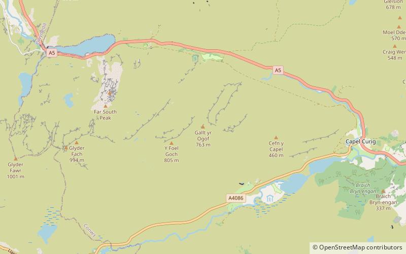
Gallt yr Ogof is a mountain in Snowdonia, North Wales. It is a subsidiary top of Glyder Fawr, and is the most easterly point in the Glyderau mountain range, not including the hill Cefn y Capel. Gallt yr Ogof is 763 metres high. ()
Elevation: 2503 ftProminence: 138 ftCoordinates: 53°6'28"N, 3°57'56"W
Address
Snowdonia National Park
ContactAdd
Social media
Add
Day trips


