Falls of Lochay, Killin
#3 among attractions in Killin


Facts and practical information
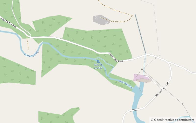
Falls of Lochay is a waterfall in Scotland. ()
Killin United Kingdom
Falls of Lochay – popular in the area (distance from the attraction)
Nearby attractions include: Falls of Dochart, Ben Lawers, Glen Ogle, Lochan Saorach.
 Nature, Natural attraction, View point
Falls of Dochart, Killin
62 min walk • Nestled in the heart of the picturesque Scottish village of Killin, the Falls of Dochart are a breathtaking natural spectacle and a must-visit for any traveler exploring the United Kingdom. These impressive waterfalls cascade through the village, offering a dramatic...
 Nature, Natural attraction, Mountain
Ben Lawers
154 min walk • Ben Lawers is the highest mountain in the southern part of the Scottish Highlands. It lies to the north of Loch Tay, and is the highest point of a long ridge that includes seven Munros.
 Nature, Natural attraction, Valley
Glen Ogle, Loch Lomond and The Trossachs National Park
146 min walk • Glen Ogle extends 7 miles north westwards from Lochearnhead to Lix Toll, where it opens into Glen Dochart. The Ogle Burn flows within the steep sides of the glen, from the Lochan Lairig Cheile at the glen's head.
 Valley
Lochan Saorach, Loch Lomond and The Trossachs National Park
190 min walk • Lochan Saorach or Lochan Dun Saoraich is a small lake situated in Glen Dochart, below Dun Saorach, Perthshire, Scottish Highlands, Scotland. The glen extends from Crianlarich eastwards to Killin with the River Dochart passing through it.
 Nature, Natural attraction, Mountain
Beinn Ghlas
155 min walk • Beinn Ghlas is a mountain in the Southern Highlands of Scotland. It lies on the north shore of Loch Tay and is part of the Ben Lawers Range.
 Specialty museum, History museum, Museum
Moirlanich Longhouse, Killin
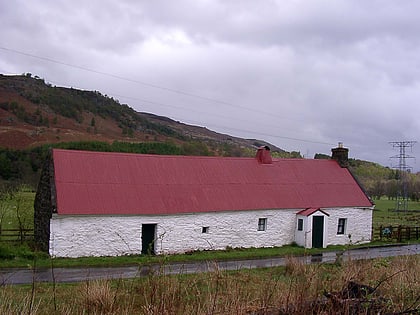
34 min walk • Moirlanich Longhouse is a rare example of a cruck frame Scottish cottage. It is located at grid reference NN562341 in Glen Lochay near Killin in the Stirling council area, Scotland.
 Nature, Natural attraction, Mountain
Meall nan Tarmachan
91 min walk • Meall nan Tarmachan is a mountain in the Southern Highlands of Scotland near Killin just west of Ben Lawers. It is often climbed as part of the Tarmachan ridge, the other peaks of which are Meall Garbh, Beinn nan Eachan and Creag na Caillich; these three peaks are Tops rather than Munros, and lie to the south-west of Meall nan Tarmachan.
 Nature, Natural attraction, Mountain
Meall Ghaordaidh
86 min walk • Meall Ghaordaidh is a mountain in the Southern Highlands of Scotland, approximately 10 km north-west of Killin.
 Nature, Natural attraction, Mountain
Sgiath Chùil, Loch Lomond and The Trossachs National Park
137 min walk • Sgiath Chùil is a mountain situated in the southern highlands of Scotland. It stands within Loch Lomond and the Trossachs National Park, on its northern border. It is about 11 kilometres west of Killin.
 Archaeological site
Killin Stone Circle, Killin
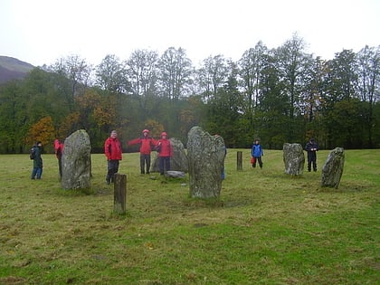
65 min walk • Killin Stone Circle is a prehistoric stone circle situated at the west end of Loch Tay near the village of Killin, Stirling, Scotland. It is a scheduled monument.
 Island
Inchbuie, Killin
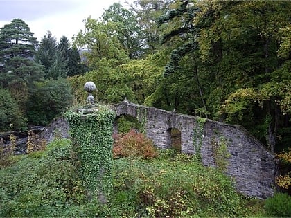
63 min walk • Inchbuie is an island of the River Dochart, near Killin. A bridge links it with both riverbanks, just below the Falls of Dochart. The MacNab Clan were once dominant here, and have long been associated with Killin. Their ancient burial ground is visible from the bridge.
