Dunstable Road, Luton

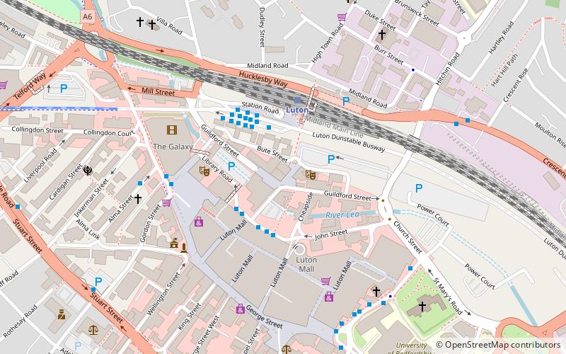
Map
Facts and practical information
Dunstable Road, also known as Bury Park, was a football ground in Luton, England. It was the home ground of Luton Town between 1897 and 1905. ()
Opened: 3 April 1897 (128 years ago)Coordinates: 51°53'1"N, 0°25'38"W
Address
DallowLuton
ContactAdd
Social media
Add
Getting there by public transportation
Public transportation stops near this location
- Bus
- Train
 Bus
Bus
- Calculate routeLuton Station 13 min walk
- Calculate routeLuton Station Interchange 14 min walk
- Calculate routePark Square 19 min walk
- Calculate routeLuton 15 min walk
Day trips


Frequently Asked Questions (FAQ)
Which popular attractions are close to Dunstable Road?
Nearby attractions include Bury Park, Luton (5 min walk), Kenilworth Road, Luton (5 min walk), Luton Town Hall, Luton (13 min walk), The Hat Factory, Luton (15 min walk).
How to get to Dunstable Road by public transport?
The nearest stations to Dunstable Road:
Bus
Train
Bus
- Luton Station • Lines: 610, 612 (13 min walk)
- Luton Station Interchange • Lines: 737 (14 min walk)
Train
- Luton (15 min walk)