Limelight, Belfast
Map
Facts and practical information
Limelight in Belfast, Northern Ireland is mid-sized live music and night club venue complex, which initially opened in 1987. The complex on the city's Ormeau Avenue consists of Limelight 1 & Limelight 2, as well as a bar called Katy's Bar. The outdoor terrace is called The Rock Garden. ()
Coordinates: 54°35'50"N, 5°55'48"W
Address
ShaftesburyBelfast
ContactAdd
Social media
Add
Getting there by public transportation
Public transportation stops near this location
- Bus
- Train
 Bus
Bus
- Calculate routeDonegall Place 2 min walk
- Calculate routeBelfast 8 min walk
- Calculate routeEuropa Bus Centre 9 min walk
- Calculate routeLaganside Bus Centre 10 min walk
- Calculate routeBelfast - Great Victoria Street 9 min walk
- Calculate routeBelfast Lanyon Place 14 min walk
- Calculate routeBotanic 16 min walk
- Calculate routeCity Hospital 19 min walk
Day trips
Limelight – popular in the area (distance from the attraction)
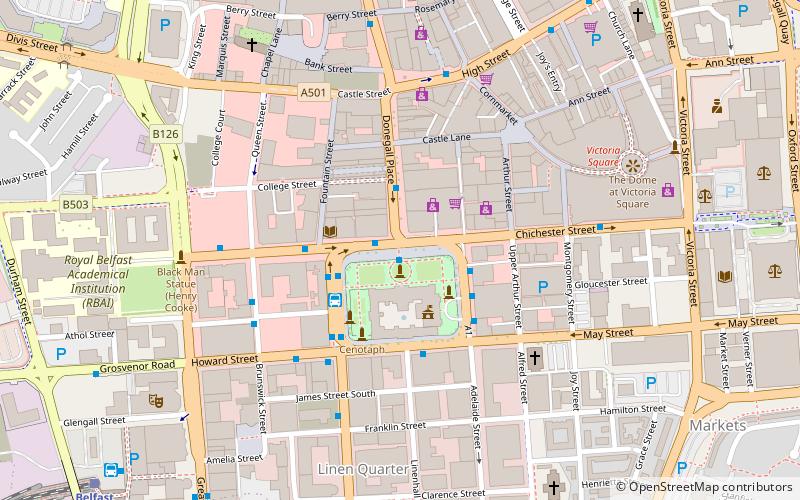
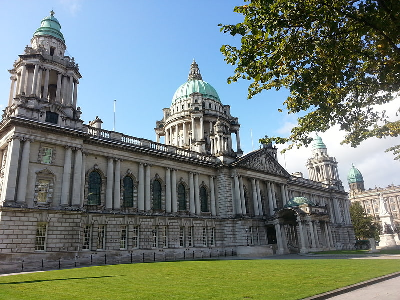
Nearby attractions include: Victoria Square, City Hall, CastleCourt, Kelly's Cellars.


Frequently Asked Questions (FAQ)
Which popular attractions are close to Limelight?
Nearby attractions include Donegall Square, Belfast (1 min walk), Belfast City Centre, Belfast (1 min walk), City Hall, Belfast (1 min walk), Belfast Wheel, Belfast (2 min walk).
How to get to Limelight by public transport?
The nearest stations to Limelight:
Bus
Train
Bus
- Donegall Place • Lines: 1G (2 min walk)
- Belfast • Lines: X1, X2A (8 min walk)
Train
- Belfast - Great Victoria Street (9 min walk)
- Belfast Lanyon Place (14 min walk)