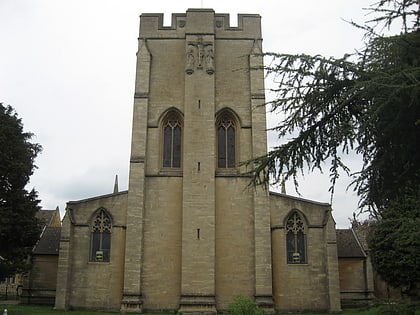
Greyfriars, Oxford
Map
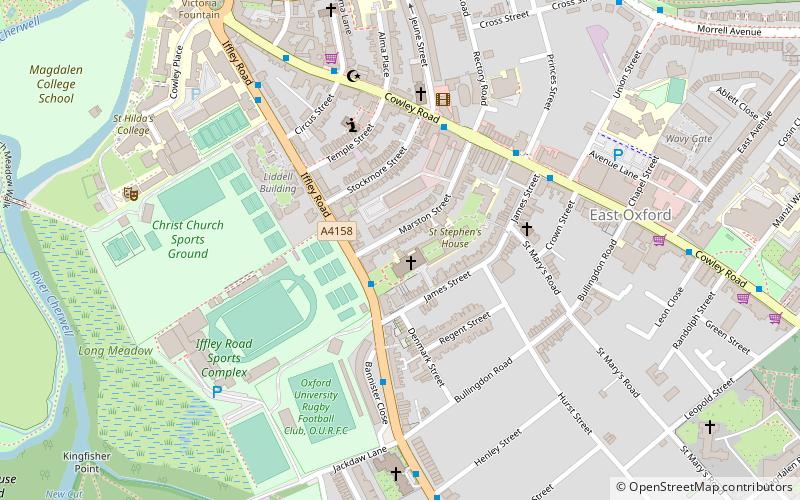
Map

Facts and practical information
Greyfriars is a Roman Catholic friary and parish located in East Oxford, which until 2008 was also a Permanent Private Hall of the University of Oxford. Situated on the Iffley Road in East Oxford, it was one of the smallest constituent halls of the university. Its status as a Permanent Private Hall referred to the fact that it was governed by an outside institution, rather than by its fellows as is a College. ()
Elevation: 223 ft a.s.l.Coordinates: 51°44'48"N, 1°14'25"W
Day trips
Greyfriars – popular in the area (distance from the attraction)
Nearby attractions include: O2 Academy Oxford, University of Oxford Botanic Garden, Roger Bannister running track, Magdalen Bridge.
Frequently Asked Questions (FAQ)
Which popular attractions are close to Greyfriars?
Nearby attractions include St John the Evangelist Church, Oxford (1 min walk), St Hilda's College, Oxford (7 min walk), Science Oxford, Oxford (8 min walk), The Plain, Oxford (8 min walk).
How to get to Greyfriars by public transport?
The nearest stations to Greyfriars:
Bus
Bus
- James Street • Lines: 10, 3A, 5A (4 min walk)
- Stockmore Street • Lines: 10, 5A (4 min walk)


