Hull Botanical Gardens, Kingston upon Hull
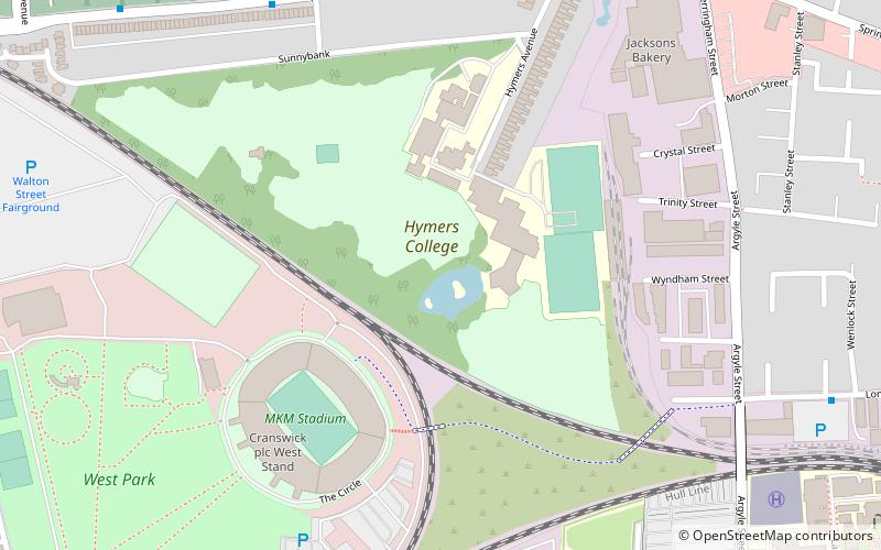
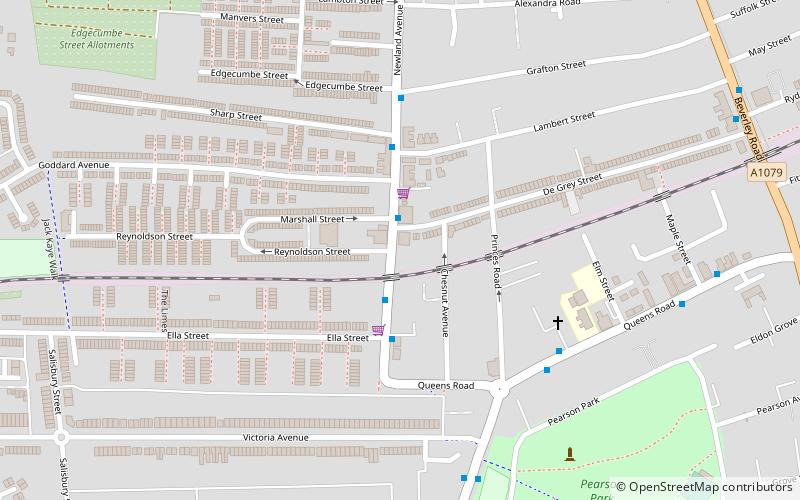
Map
Facts and practical information
Hull Botanical Gardens were established in 1812 on a 5-acre site near what is now called Linnaeus Street, Hull, England. ()
Coordinates: 53°44'52"N, 0°21'54"W
Address
Wyke (Avenue)Kingston upon Hull
ContactAdd
Social media
Add
Day trips
Hull Botanical Gardens – popular in the area (distance from the attraction)
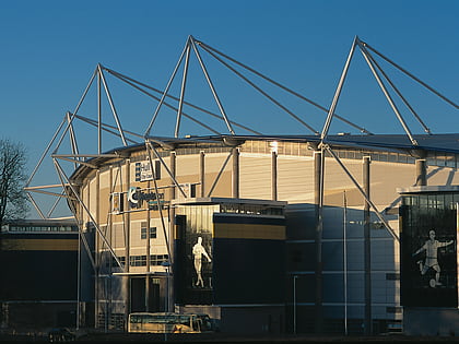
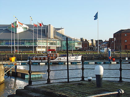
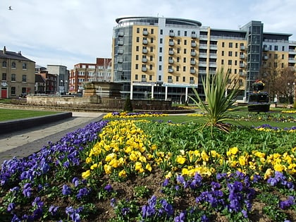
Nearby attractions include: MKM Stadium, Queen Victoria Square, Princes Quay, Hull Arena.
Frequently Asked Questions (FAQ)
Which popular attractions are close to Hull Botanical Gardens?
Nearby attractions include Hull General Cemetery, Kingston upon Hull (8 min walk), Carnegie Heritage Centre, Kingston upon Hull (11 min walk), The Avenues, Kingston upon Hull (17 min walk), Hull Truck Theatre, Kingston upon Hull (20 min walk).
How to get to Hull Botanical Gardens by public transport?
The nearest stations to Hull Botanical Gardens:
Bus
Train
Bus
- Paragon Interchange (20 min walk)
Train
- Hull Paragon Interchange (20 min walk)
