Trencrom Hill, Carbis Bay
Map

Map

Facts and practical information
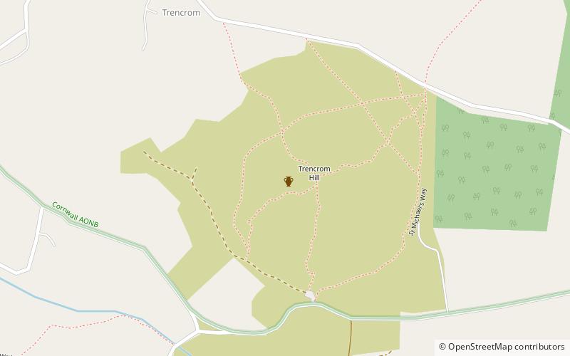
Trencrom Hill is a prominent hill fort, owned by the National Trust, near Lelant, Cornwall. It is crowned by an univallate Neolithic tor enclosure and was re-used as a hillfort in the Iron Age. Cairns or hut circles can be seen in the level area enclosed by the stone and earth banks. The hill overlooks the Hayle Estuary and river, and Mount's Bay and St Michael's Mount can be seen to the south. The hill was recorded as Torcrobm in 1758 which is derived from Cornish "torr crobm", i.e. 'hunched bulge'. ()
Coordinates: 50°10'26"N, 5°28'42"W
Address
Carbis Bay
ContactAdd
Social media
Add
Day trips
Trencrom Hill – popular in the area (distance from the attraction)
Nearby attractions include: Tate St Ives, The Sloop Inn, St Ia's Church, The Towans.


