Bethells Bridge

Gallery (4)
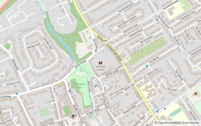
Map

Map
Gallery
Facts and practical information
Bethells Bridge, a swing bridge on the Driffield Navigation in the East Riding of Yorkshire, England. The bridge was built to access land cut off after a new section of canal was made. It is now home to many boat moorings, and popular with fishermen. ()
Coordinates: 53°56'39"N, 0°21'27"W
Location
England
ContactAdd
Social media
Add
Day trips