Featherbed Moss, Crowden-in-Longdendale
Map

Map

Facts and practical information
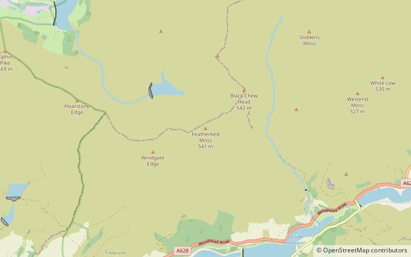
Featherbed Moss is a flat-topped hill, 541 metres high, in the Peak District in the county of Derbyshire in England. It is sometimes mistakenly thought to be a joint county top. ()
Elevation: 1775 ftProminence: 33 ftCoordinates: 53°30'24"N, 1°55'48"W
Address
Crowden-in-Longdendale
ContactAdd
Social media
Add
Day trips
Featherbed Moss – popular in the area (distance from the attraction)
Nearby attractions include: Dovestone Reservoir, Brushes Reservoir, Buckton Castle, Black Hill.
Frequently Asked Questions (FAQ)
Which popular attractions are close to Featherbed Moss?
Nearby attractions include Chew Reservoir, Crowden-in-Longdendale (13 min walk), Black Chew Head, Crowden-in-Longdendale (20 min walk), Chew Valley, Crowden-in-Longdendale (22 min walk).


