Bottoms Reservoir, Peak District
Map

Gallery

Facts and practical information
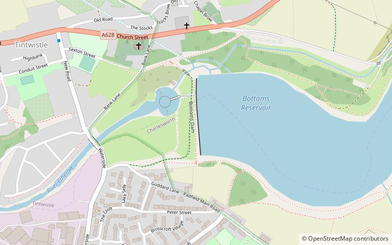
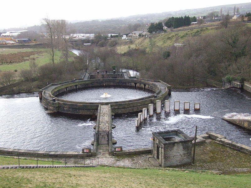
Bottoms Reservoir is a man-made lake in Longdendale in north Derbyshire, England. It was constructed between 1865 and 1877, by John Frederick Bateman as part of the Longdendale chain to supply water from the River Etherow to the urban areas of Greater Manchester. The upper reservoirs supplied the drinking water, while Bottoms and Vale House reservoirs regulated the flow downstream for the benefit of local water-powered mills. ()
Average depth: 48 ftElevation: 522 ft a.s.l.Coordinates: 53°28'12"N, 1°57'58"W
Address
Peak District
ContactAdd
Social media
Add
Day trips
Bottoms Reservoir – popular in the area (distance from the attraction)
Nearby attractions include: Ardotalia, Arnfield Reservoir, Glossop Castle, Valehouse Reservoir.
Frequently Asked Questions (FAQ)
How to get to Bottoms Reservoir by public transport?
The nearest stations to Bottoms Reservoir:
Train
Train
- Hadfield (16 min walk)


