Drinkstone windmills, Woolpit

Gallery (2)
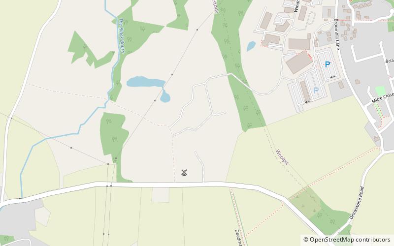
Map
Map
Gallery
Facts and practical information
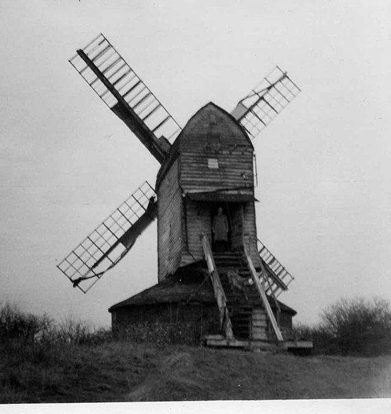
Drinkstone Windmills are a pair of windmills at Drinkstone, Suffolk, England. They consist a post mill and a smock mill. The post mill is Grade I listed and the smock mill is Grade II* listed. The mills were known as Clover's Mills as they were always worked by the Clover family. ()
Built: 1689 (337 years ago)Coordinates: 52°13'24"N, 0°52'29"E
Address
Woolpit
ContactAdd
Social media
Add
Day trips


