Golden Lane, London
Map
Map

Facts and practical information
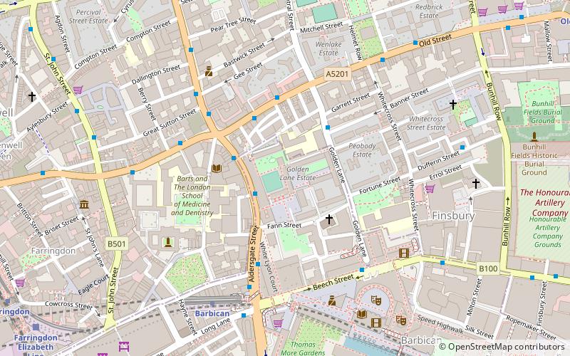
Golden Lane, originally known as Goldeslane or Goldyng Lane, then Golding Lane, is a street in the City of London that runs north–south, between Old Street in the north, and Beech Street in the south. It dates back to at least 1274 and was the site of Edward Alleyn's Fortune Theatre that was built in 1600. The street was almost completely destroyed by bombing during the Second World War before being rebuilt in the post-war era. ()
Coordinates: 51°31'21"N, 0°5'47"W
Address
City of London (Cripplegate)London
ContactAdd
Social media
Add
Day trips
Golden Lane – popular in the area (distance from the attraction)
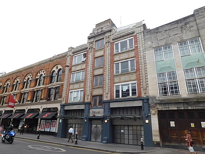
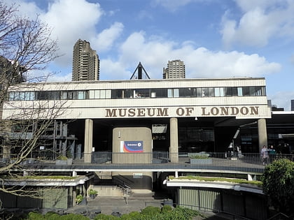
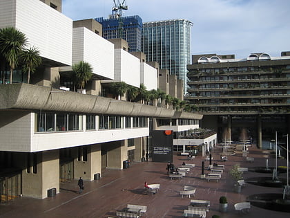
Nearby attractions include: Fabric, Museum of London, Barbican Centre, Ironmonger Row Baths.
Frequently Asked Questions (FAQ)
Which popular attractions are close to Golden Lane?
Nearby attractions include Jewin Welsh Presbyterian Chapel, London (3 min walk), Fann Street, London (3 min walk), Beech Street, London (4 min walk), The Charterhouse, London (5 min walk).
How to get to Golden Lane by public transport?
The nearest stations to Golden Lane:
Bus
Metro
Train
Light rail
Ferry
Bus
- Baltic Street West • Lines: 153, 4, 56 (2 min walk)
- Clerkenwell Road / Old Street • Lines: 153, 4, 56 (2 min walk)
Metro
- Barbican • Lines: Circle, Hammersmith & City, Metropolitan (5 min walk)
- Farringdon • Lines: Circle, Hammersmith & City, Metropolitan (11 min walk)
Train
- City Thameslink (15 min walk)
- Bank (19 min walk)
Light rail
- Bank Platform 10 • Lines: B-L, B-Wa (21 min walk)
- Tower Gateway Platform 1 • Lines: Tg-B (33 min walk)
Ferry
- Blackfriars Pier • Lines: Rb6 (22 min walk)
- Bankside Pier • Lines: Green Tour, Rb1, Rb1X, Rb2 (25 min walk)

 Tube
Tube