Deeside Way, Aberdeen

Gallery (1)
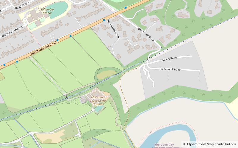
Map
Map
Facts and practical information
Length: 41 miMaximum elevation: 676 ftSeason: All yearCoordinates: 57°6'17"N, 2°13'25"W
Day trips
Where to next? Visit ![]() Scotland region page or discover the top tourist attractions in United Kingdom.
Scotland region page or discover the top tourist attractions in United Kingdom.


