Hampstead, London
Map
Gallery

Facts and practical information
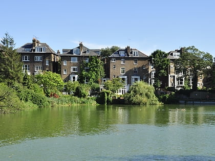
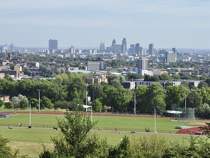
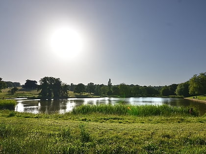
Hampstead is an area in London, which lies 4 miles northwest of Charing Cross, and extends from the A5 road to Hampstead Heath, a large, hilly expanse of parkland. The area forms the northwest part of the London Borough of Camden, a borough in Inner London which for the purposes of the London Plan is designated as part of Central London. ()
Address
Camden (Hampstead Town)London
ContactAdd
Social media
Add
Day trips
Hampstead – popular in the area (distance from the attraction)
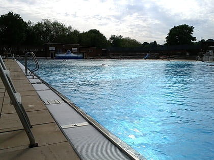
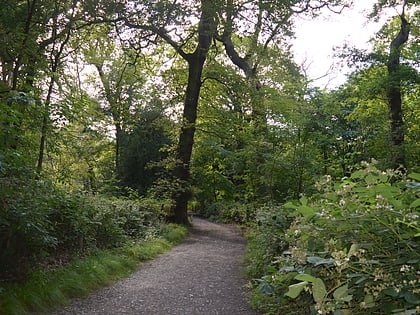
Nearby attractions include: Hampstead Heath, Parliament Hill Lido, Hampstead Heath Woods, O2 Centre.
Frequently Asked Questions (FAQ)
Which popular attractions are close to Hampstead?
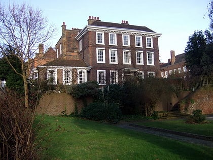
Nearby attractions include Rosslyn Hill Unitarian Chapel, London (3 min walk), Pentameters Theatre, London (6 min walk), Burgh House, London (7 min walk), Keats House, London (8 min walk).
How to get to Hampstead by public transport?
The nearest stations to Hampstead:
Bus
Metro
Train
Bus
- Pilgrim's Lane • Lines: 268, 46, N5 (2 min walk)
- Lyndhurst Road / Akenside Road • Lines: 46, 603 (4 min walk)
Metro
- Hampstead • Lines: Northern (7 min walk)
- Belsize Park • Lines: Northern (13 min walk)
Train
- Hampstead Heath (10 min walk)
- Finchley Road & Frognal (13 min walk)


 Tube
Tube