Haverton Hill, Middlesbrough
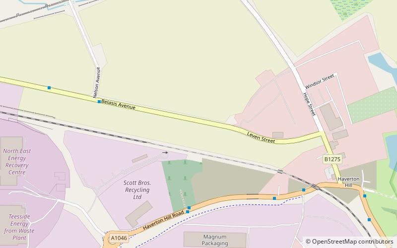
Map
Facts and practical information
Haverton Hill is an area within the borough of Stockton-on-Tees and ceremonial county of County Durham, England. Once considered a part of Billingham, Haverton Hill was once a thriving industrial community which has suffered significant depopulation since the 1960s as a result of pollution. ()
Coordinates: 54°35'53"N, 1°15'4"W
Address
Middlesbrough
ContactAdd
Social media
Add
Getting there by public transportation
Public transportation stops near this location
- Bus
- Train
- Ferry
 Bus
Bus
- Calculate routeHaverton Hill Hotel 6 min walk
- Calculate routeClarence Street 8 min walk
- Calculate routeSaltholme Close 13 min walk
- Calculate routeBillingham 33 min walk
- Calculate routePort Clarence 34 min walk
- Calculate routeMiddlesbrough 34 min walk
Day trips


Frequently Asked Questions (FAQ)
How to get to Haverton Hill by public transport?
The nearest stations to Haverton Hill:
Bus
Train
Ferry
Bus
- Haverton Hill Hotel • Lines: 1, 58A (6 min walk)
- Clarence Street • Lines: 1, 58A (8 min walk)
Train
- Billingham (33 min walk)
Ferry
- Port Clarence • Lines: A178 (34 min walk)
- Middlesbrough • Lines: A178 (34 min walk)