Middlesbrough Town Hall, Middlesbrough
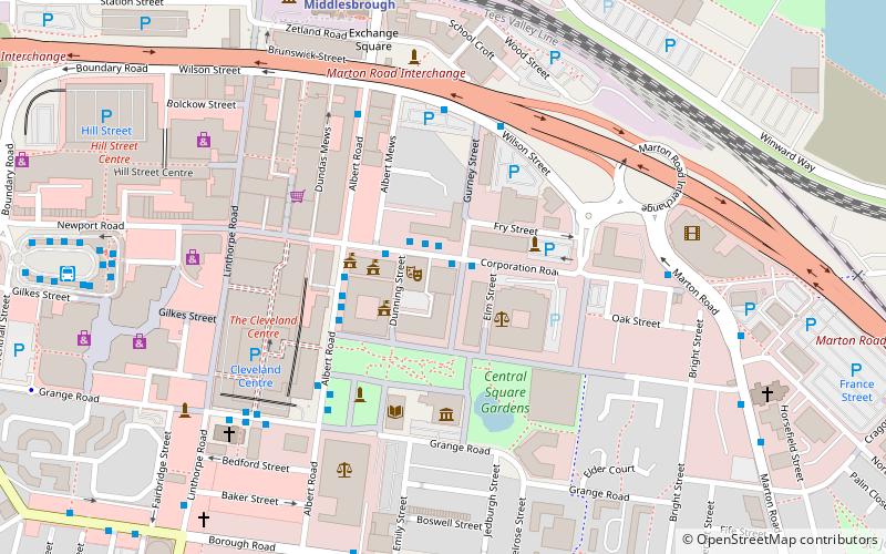
Map

Map

Facts and practical information
Middlesbrough Town Hall is a municipal facility located in Albert Road in Middlesbrough, North Yorkshire, England. It is a Grade II* listed building. ()
Built: 1889 (137 years ago)Architectural style: GothicCoordinates: 54°34'33"N, 1°13'58"W
Address
Town Hall Albert RoadMiddlehavenMiddlesbrough TS1 2PA
Contact
+44 1642 729729
Social media
Add
Day trips
Middlesbrough Town Hall – popular in the area (distance from the attraction)
Nearby attractions include: Cleveland Centre, Riverside Stadium, Tees Transporter Bridge, Club Bongo.
Frequently Asked Questions (FAQ)
Which popular attractions are close to Middlesbrough Town Hall?
Nearby attractions include Middlesbrough Institute of Modern Art, Middlesbrough (3 min walk), Middlesbrough College, Middlesbrough (9 min walk), Teesside University, Middlesbrough (11 min walk), Temenos, Middlesbrough (14 min walk).
How to get to Middlesbrough Town Hall by public transport?
The nearest stations to Middlesbrough Town Hall:
Bus
Train
Ferry
Bus
- Gurney House • Lines: X4A (4 min walk)
- Middlesbrough Bus Station • Lines: 1, 13, 36, 37, 38, 426, 436, 5A, 63, 831, 905, S1, Tr1, Tr2, X12, X22, X4A, X5, X66, X9 (8 min walk)
Train
- Middlesbrough (7 min walk)
Ferry
- Middlesbrough • Lines: A178 (15 min walk)
- Port Clarence • Lines: A178 (18 min walk)


