RSPB St. Aidan's, Leeds

Map
Facts and practical information
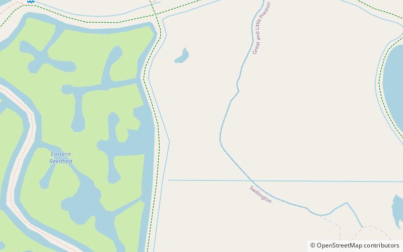
St Aidan's is a 400-hectare nature park located between Leeds and Castleford in West Yorkshire, England. The land was formerly an opencast coal mining area that was flooded in 1988, after the riverbank collapsed. Repairs and remediation required its own act in Parliament to allow the necessary works to go ahead. Mining ceased at St Aidan's in 2002. ()
Established: 2017Elevation: -56 ft b.s.l.Coordinates: 53°45'3"N, 1°24'26"W
Address
Astley Lane, Great PrestonGarforth and Swillington (Swillington)Leeds
ContactAdd
Social media
Day trips
RSPB St. Aidan's – popular in the area (distance from the attraction)
Nearby attractions include: Swillington, Lemonroyd Marina, St Aidan's, Great and Little Preston.
Frequently Asked Questions (FAQ)
Which popular attractions are close to RSPB St. Aidan's?
Nearby attractions include St Aidan's, Leeds (4 min walk), Lemonroyd Marina, Leeds (19 min walk), Great and Little Preston, Leeds (23 min walk).


