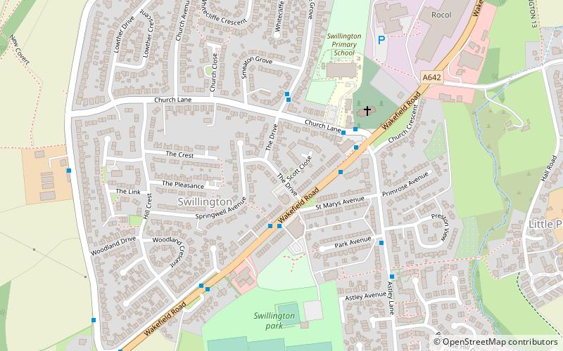
Swillington, Leeds
Map

Map

Facts and practical information
Swillington is a village and civil parish near Leeds, West Yorkshire, England, in the City of Leeds metropolitan borough. It is situated 5 miles east from Leeds city centre, north of the River Aire, and is surrounded by streams including Fleakingley Beck. In 2001, Swillington had a population of about 3,530, reducing to 3,381 at the 2011 Census. ()
Address
Garforth and Swillington (Swillington)Leeds
ContactAdd
Social media
Add
Day trips
Swillington – popular in the area (distance from the attraction)
Nearby attractions include: Temple Newsam, Oulton Hall, Springhead Park, St Mary's Church.
Frequently Asked Questions (FAQ)
How to get to Swillington by public transport?
The nearest stations to Swillington:
Train
Bus
Train
- Woodlesford (32 min walk)
Bus
- Station Lane Aberford Road • Lines: 446 (32 min walk)
- Aberford Road Station Lane • Lines: 446 (32 min walk)


