North Wales Path, Prestatyn

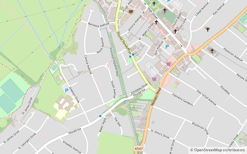
Map
Facts and practical information
The North Wales Path is a long-distance walk of some 60 miles that runs close to the coast of northern Wales between Prestatyn in the east and Bangor in the west. Parts of it overlap with the Wales Coast Path. The path runs along parts of the Clwydian Range and Dee Valley Area of Outstanding Natural Beauty. The path was devised, implemented and maintained by the then Countryside Council for Wales and the three councils of: Gwynedd, Conwy, and Denbighshire. ()
Coordinates: 53°19'52"N, 3°24'18"W
Address
Prestatyn
ContactAdd
Social media
Add
Day trips
North Wales Path – popular in the area (distance from the attraction)
Nearby attractions include: Rhyl Golf Club, Rhuddlan Castle, Belle Vue, Point of Ayr Lighthouse.


