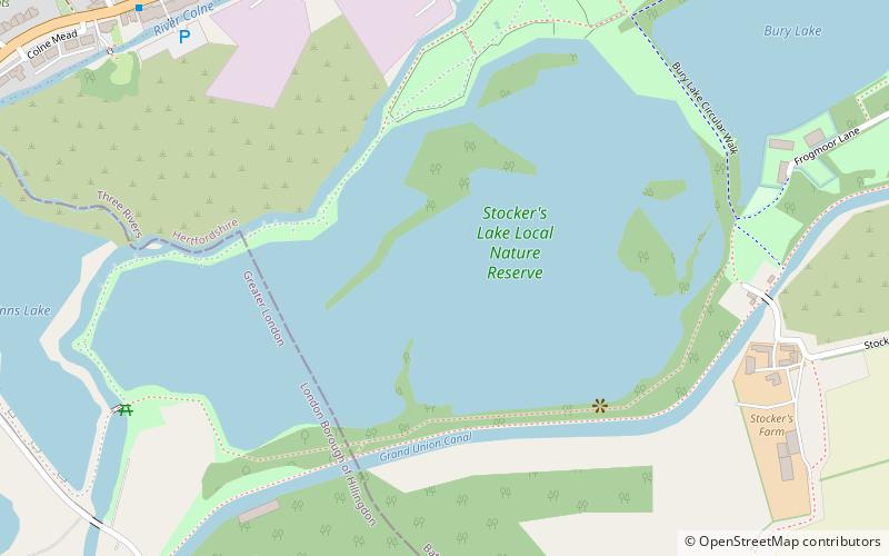
Stocker's Lake, Rickmansworth

Gallery (1)
Map
Map
Facts and practical information
Stocker's Lake is an old flooded gravel pit of approx 90 acres at Rickmansworth, Hertfordshire, England, within the Colne Valley Regional Park which is designated as a Local Nature Reserve. ()
Elevation: 148 ft a.s.l.Coordinates: 51°37'49"N, 0°29'15"W
Address
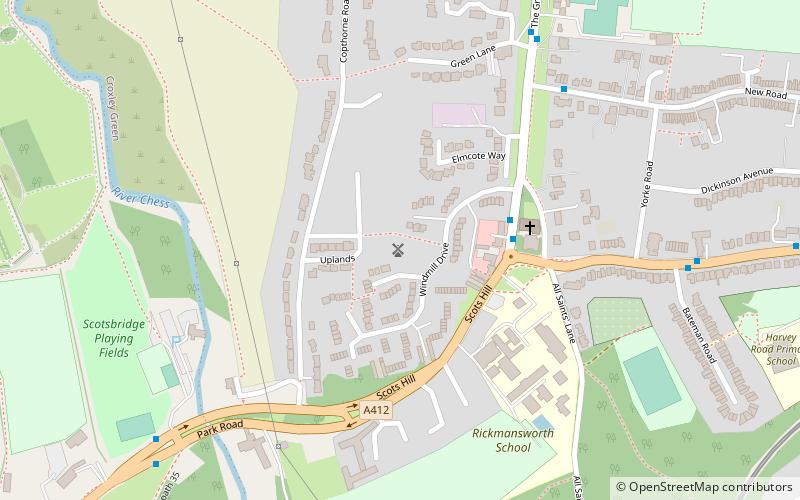
Rickmansworth
ContactAdd
Social media
Add
Day trips